Day 6 – 06/12/2005. Texas Panhandle
Video (first half is a few days later in Kansas; second half is the Texas Twisters from 6/12):
Today was suggested to be a big day due to the instability and jet digging
in. We headed east and south from Plainview. There blew up two large
storms and we were positioned well between the two. The northern storm was
by far the largers storm and so we targeted it. It ended up dying and the
southern storm was exploding so we went south. This storm ended up being
on a squall line so we focused on the southern storm. Bill’s friends at
the Lubbock office called and told us the sheriff had reported a tornado with
the second to last storm and so we headed fast and furious to that storm.
We had to punch the tip of the core to get there and when the base of the storm
came into view we knew we’d be in for a treat. We watched as a large wedge
was formed and touch the ground. This beast became rain wrapped and we
moved to beat the hail wrapped core. We proceeded to see multiple vortex
and another cone and ended up with a roping out elephant trunk. In total,
we counted 5 tornados from this supercell.
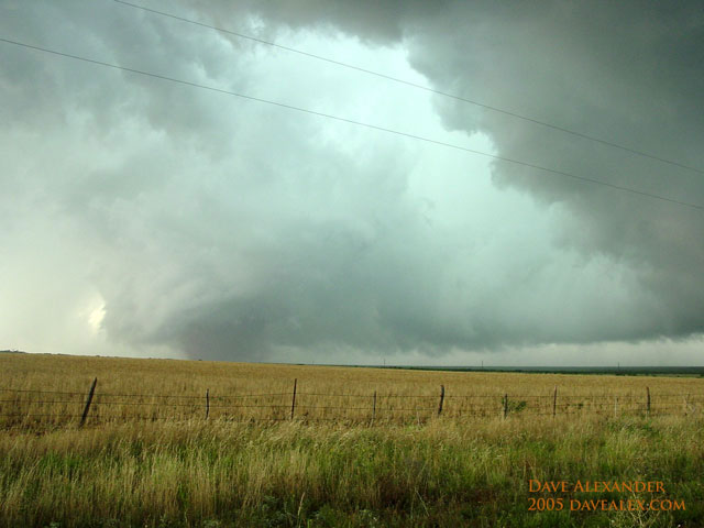
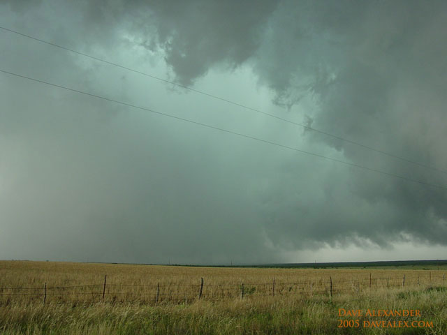
There is a 1/2 mile wide tornado that is rain and dirt wrapped in there, don’t
be fooled…it was rotating VERY fast!
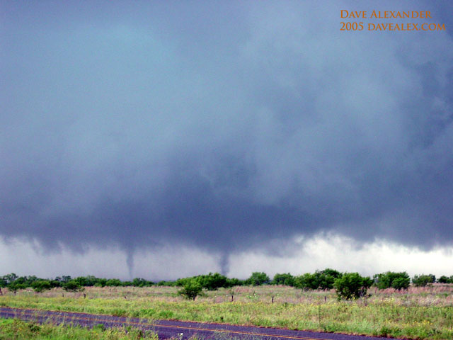
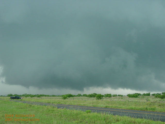
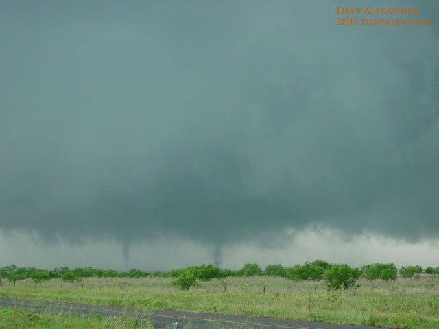
My still shots of this multiple vortex tornado (yes, one tornado with two-three
littler tornados in it…these tornados were rotating around each other).
This came out of a new mesocyclone base after the wedge dissapated (at least we
think, the wedge could still be rain wrapped behind and to the left…we got the
hell out of there so we’re not sure). I concentrated on video at this
point and don’t have captured images from that yet.
At this time we saw that the last storm in the squall line (one storm south)
was growing enormous and was swallowing this already huge storm. We drove
fast and furious and upon diving out from the forward flank downdraft we saw a
huge horseshoe shaped wall base with a wall cloud. This never really
shaped up to much so we ended up driving away and viewing this storm from a
distance. This was a HUGE storm that took up several counties. We
saw amazing anvil crawling lightening and beautiful striated mammatus.
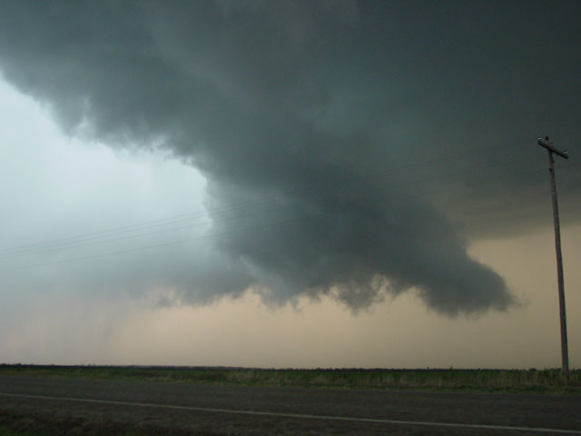
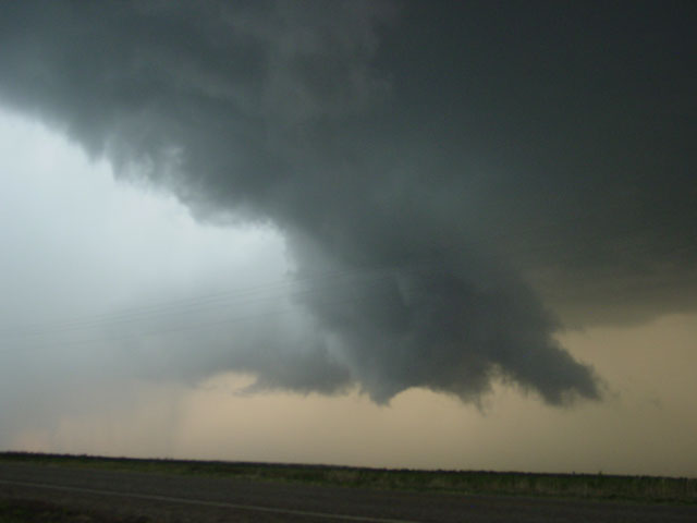
The above two pictures are of a wall cloud under this monster. You can
see from the two pictures the downward motion of the wall cloud, we really
thought it was going to tornado. Behind it is the rear flank downdraft
(RFD) hole…you would not want to be right under this hole as you’d probably
experience 100 mph winds and softball hail. And yes, there was rapid
rotation in these clouds at this time.
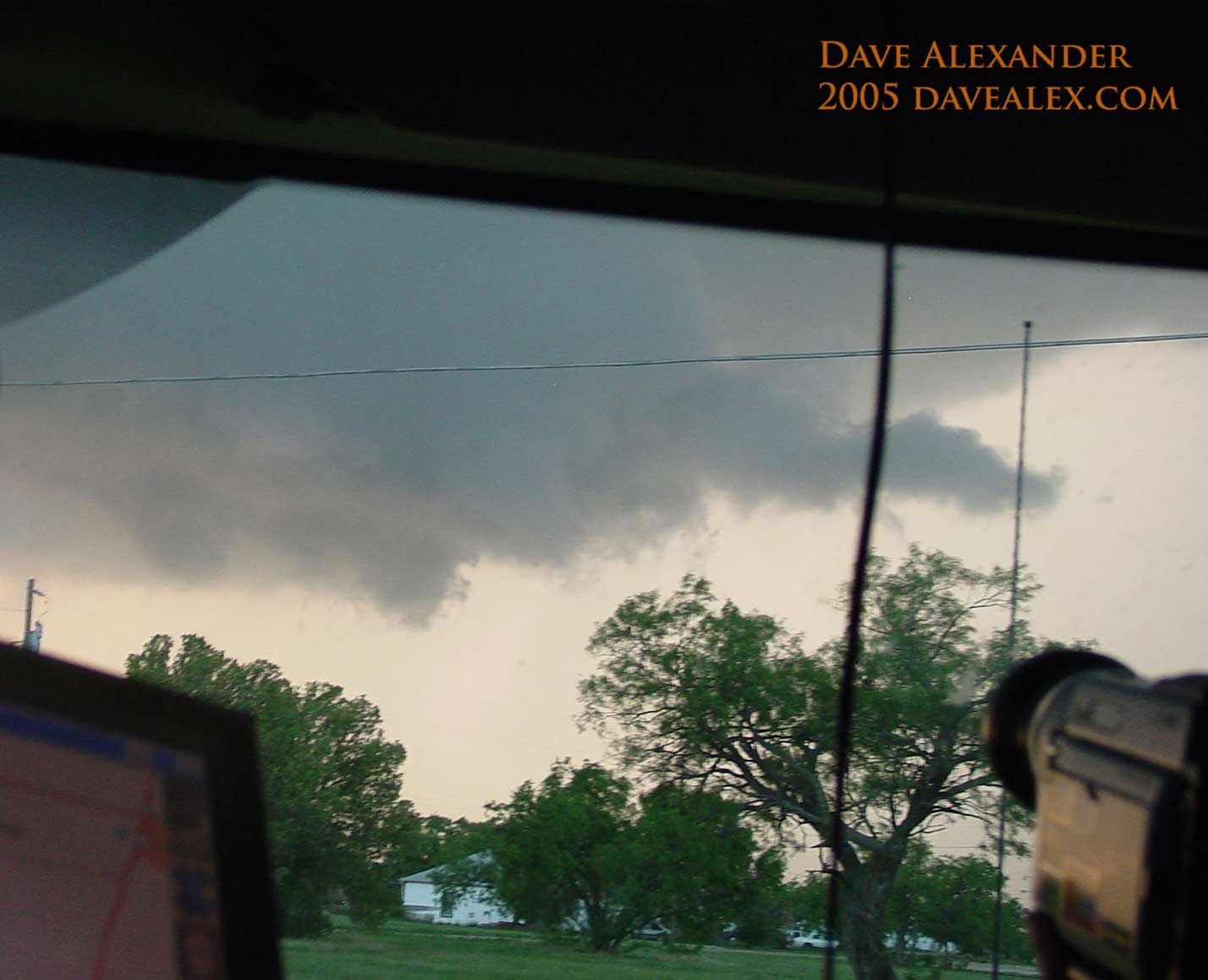
Rapidly rotating funnel with tail cloud that was very active, but didn’t put
down any tornado. This beast was so huge and so efficient it didn’t have a
chance to make a tornado…there was just too much rain cooled air falling down
through the RFD and cooling the inflow too much.
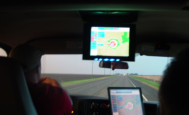
This is a typical shot from the trip. The above radar shows this super
cell. It probably took up at least one whole county and a 1/3 of all the
counties surrounding it. Maybe 50 miles at the base?
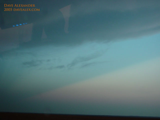
These are called Puscular Rays. You are looking at blue sky with a
little bit of the anvil at the top of the photo. I haven’t quite learned
exactly what causes this, but it is like a rainbow effect, there is refraction
of light around the supercell forming a “inverted shadow” of sorts on the
horizon. That is the while triangle.
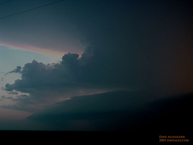
Picture from our ride away from this storm after sunset. Incredible
storm structure, but it would require a fish-eye lens to do the storm justice.
Notice the shelf cloud sucking in moisture from the lower level of the
atmosphere (950 mb). Then the inflow right above it sucking in mid-level
moisture (700 mb), then the anvil way above that. This middle inflow band
demonstrates the amount of rotation in this storm as it is bent around from
behind the storm. This was a very healthy storm that died about a couple
hours after sunset due to the loss of heating.
The first tornado was the largest of the trip, we figure 1/2 mile wide at the
base. We saw several trees fly up and also several power transformer
explosions. A couple of towns were in the wake of some serious hail
problems associated with this storm.

Dave, that video, quite frankly, is the best footage of a tornadic supercell that I think I’ve ever seen. I remember that storm over Elbert was rotating much like this one, but your footage is priceless. I can only imagine your pulse rate towards the end when the outer band was rotating over you…
Scott. Yes, my heart was racing; but mainly because of the lightning that was so close. I was in the grass the whole time and I didn’t want to move away from the “security” of the vehicle so that is why the tree is in the middle of the field of view! I was a bit bummed we repositioned as it was a great view of the forming twister. Thanks for the compliments; it was one heck of a day!