Day 4. June 10, 2005. Panhandles.
Today was foretasted by everyone to be a great tornado day in the Texas
Panhandle. There was a very strong upper level trough coming through that
would for sure initiate convection, and there was a dryline and frontal boundary
to make a second day of a classic triple-point. The triple-point was
looking to be down outside of Clovis New Mexico and into the west central Texas
Panhandle. We started off the day in Dodge City Kansas and headed south.
After analyzing data we were really confused because the trough was out of
phase, meaning it was too early in the day and there wasn’t enough heating for
the really deep convection. Therefore everything started going bananas
around 1:00 and since there was little cap everything was free to explode.
This is not what you want because every storm will fight for the deep energy and
instability in the lower atmosphere. We decided to stay north and targeted
the first supercell in the rich atmosphere in SW Kansas.
We watched the storm as it kept producing wall clouds but they were really
not that impressive. This storm could not get organized enough before the
early morning big sloppy storms from the central panhandle started to seed the
northern storms. We know we would only have a small window (maybe 2 hours)
of time before this would happen and ruin any chance of the northern target area
taking off, and it just didn’t get organized in time. We then targeted
another good looking storm in the extreme western Oklahoma panhandle and by the
time we got there the storm was just a squall line with a nice looking shelf
cloud (another whale’s mouth type of formation) but nothing severe. At
least we weren’t the only people that busted today, everyone did as there were
no tornadoes that any chaser saw anywhere…shows how the Storm Prediction
Center’s models can be way off based on a single, early morning storm complex
ruining the environment, and the upper level disturbance coming in way too
early.
After dark we can see a nice supercell on radar and great lightening show
around Amarillo, but none of us were in the mood to drive 1.5 hours to chase a
storm in the damaged atmosphere after dark.


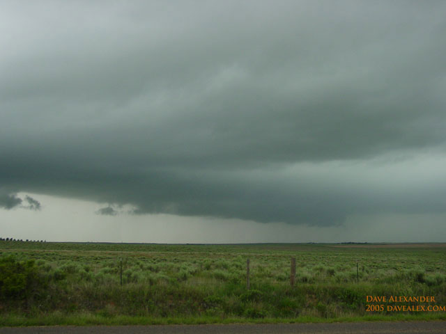
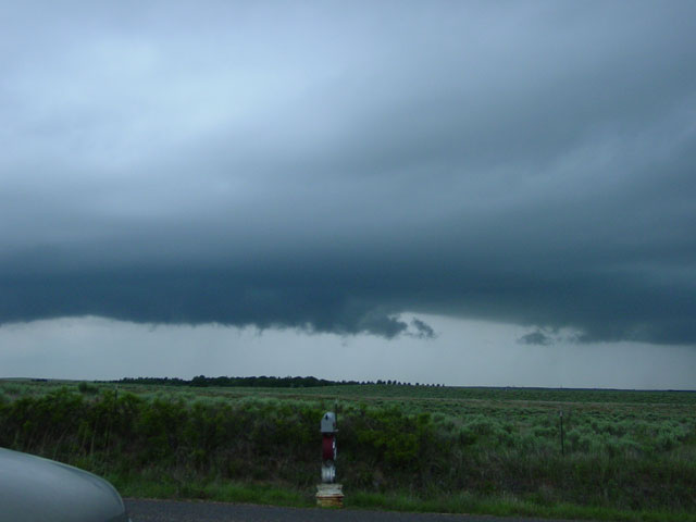
These pictures are examples of the wall clouds we saw today. There was
definite rotation and they kept trying to re-organize with strong inflow, but
the southern storm complex kept feeding outflow aloft into this storm ruining
its chances for tonadogenesis. You can see in this picture two wall
clouds, one is dying and the other is accepting all the inflow.
Tomorrow is looking like a good day on the Raton ridge in either southern
Colorado or northern New Mexico, and Sunday could be the last good day of the
tour. I think we’ve maxed out on our outbreaks
