Today I decided to hit the Pikes Peak Gem and Mineral Show at the Western Mining Museum. I packed my storm chase gear as it was supposed to be a good southern Colorado chase day and since I was in the Black Forest area I could be in good position to commence a chase.
After enjoying the show I was leaving when I got a call from my mom, who always is great at keeping me updated on news and events since I don’t watch TV or listen to the radio. She had called to tell me that Larkspur was Tornado Warned! I flipped on the Baron Mobile Threat Net and the NOAA Weather Radio to get caught up on the weather as I raced towards Larkspur. As I crested Monument Hill I could see that there was something sinister brewing just north and I was excited to chase as I know all the back roads in the area!
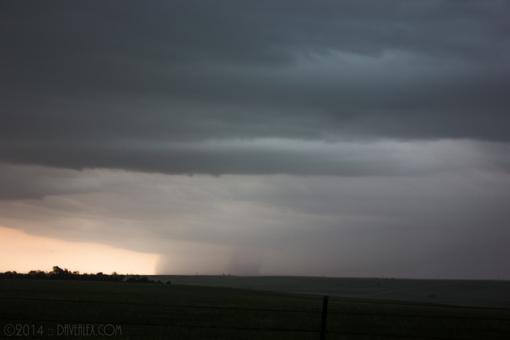
About 1pm I took these pictures from the car as I was driving in the Greenland area. This storm stretched from what appeared to be Castle Rock nearly down to Monument.
NOTE: As always, click the image for a HD full size version…
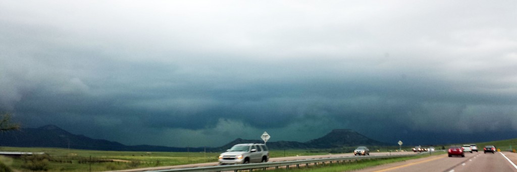
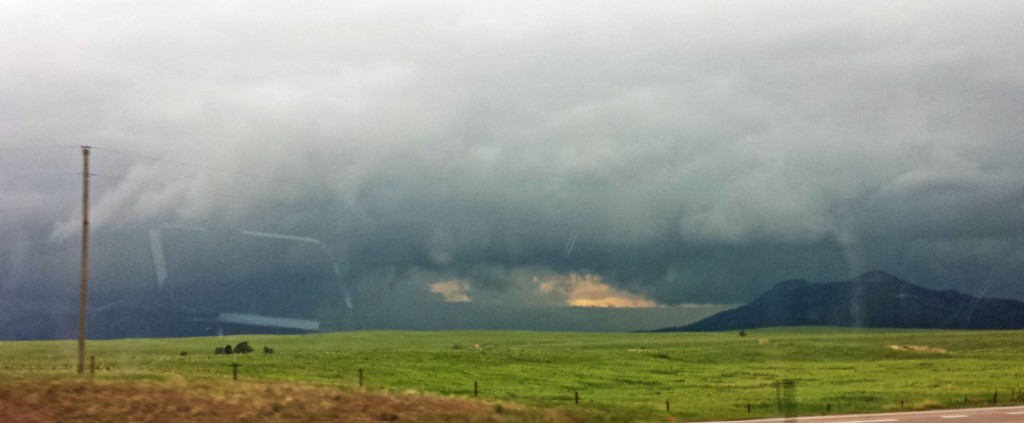
Traffic was starting to get gnarled up because of the heavy rain just north of the Larkspur exit; and people were freaking out driving worse than storm chasers do, that’s a first! LOL! The underpass of the Larkspur exit was completely blocked by people wanting to get out of the hail (it hardly started raining yet), luckily I was headed east to get ahead of the storm as it was coming directly my way–leaving the mass chaos in the dust.
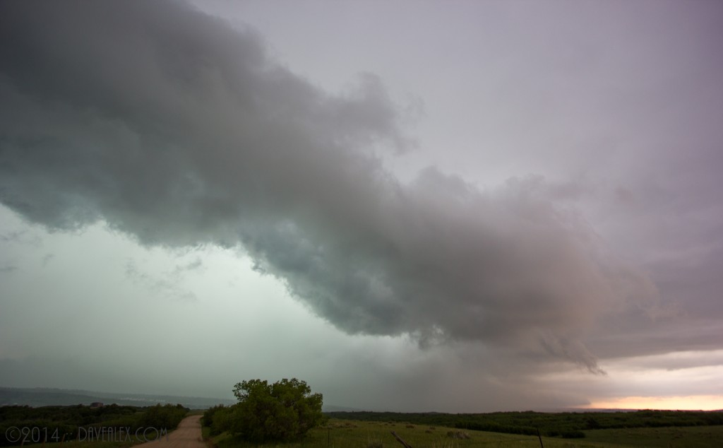
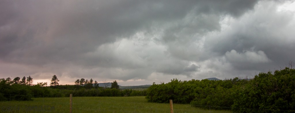
Near Hwy 83, while flirting with the rain and hail of the northern storm, I got overtaken by the SE drifting storm several times and I spent the next 30 minutes or so getting out in front of the line of storms drifting east; many with tornado warnings on them. The storm to the NE of me near Elizabeth had some nice structure (and was certainly ruining what was left of the county rodeo). The Lake George tornadic storm was also cresting the Rampart Range too and looked nice; so I decided to split the two and be available to jump on either storm…I was nearly 1/2 way between Hwy 24 and Hwy 86.
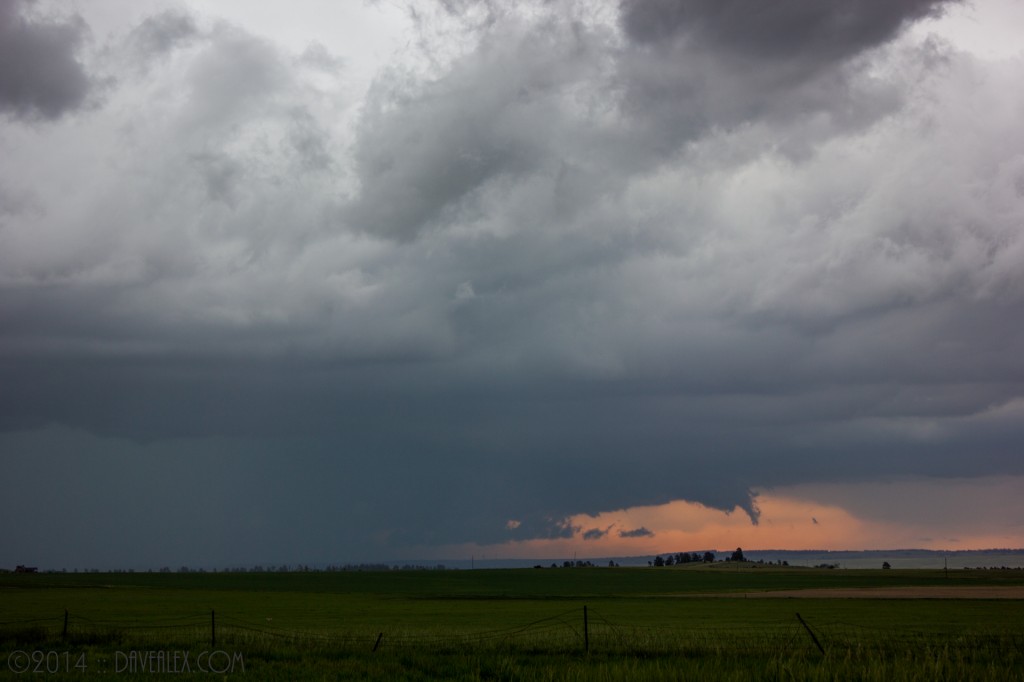
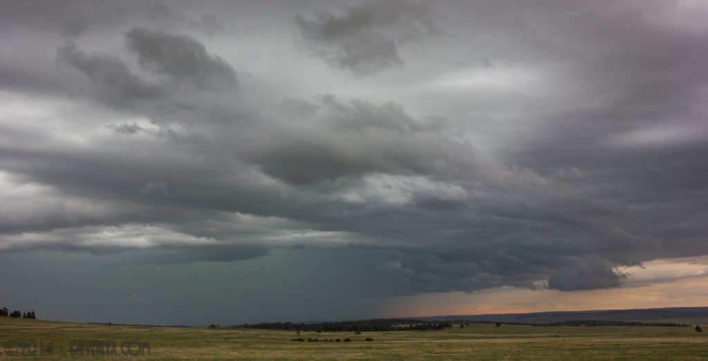
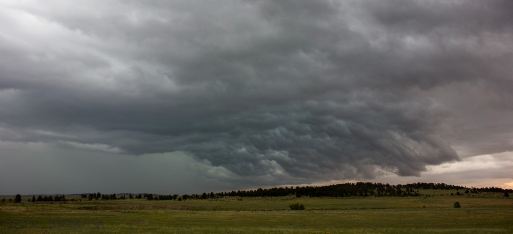
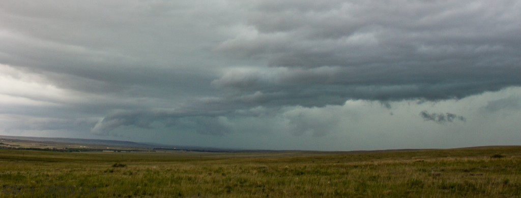
After I headed east of Elbert, I had to make a decision, catch up to the storm to my NE (about 20 miles as a bird flies) or get south and play the southern line of storms. Since I was planning it to be a southern Colorado day anyway, and because I was a good 30 minutes ahead of those storms, I chose the southern storms and I headed south towards Simla. The roads south of here are good; but not great and like any dirt road it sucks in the hail and heavy rain; so I decided I was going to play this line of storms and then punch the core and head home as there was a big line forming and the severe potential appeared to be dwindling.
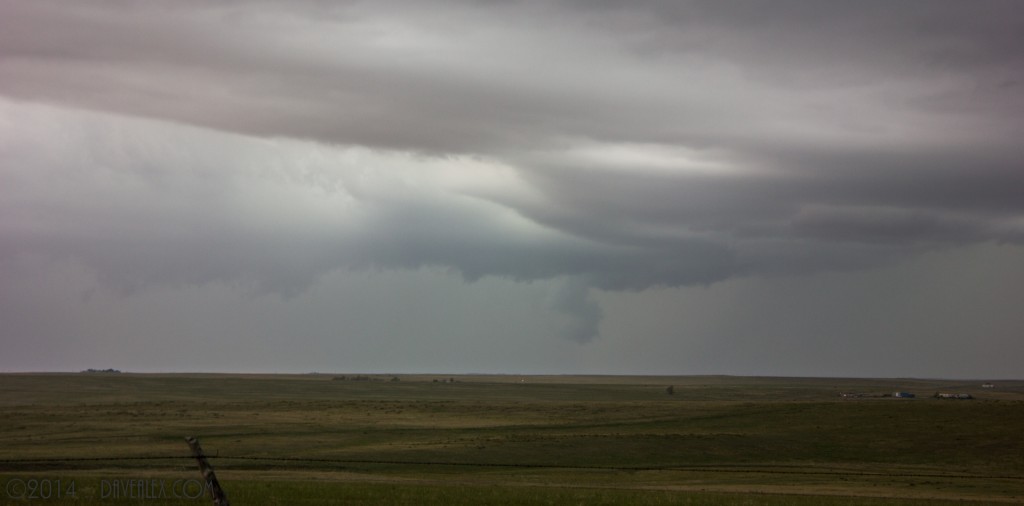
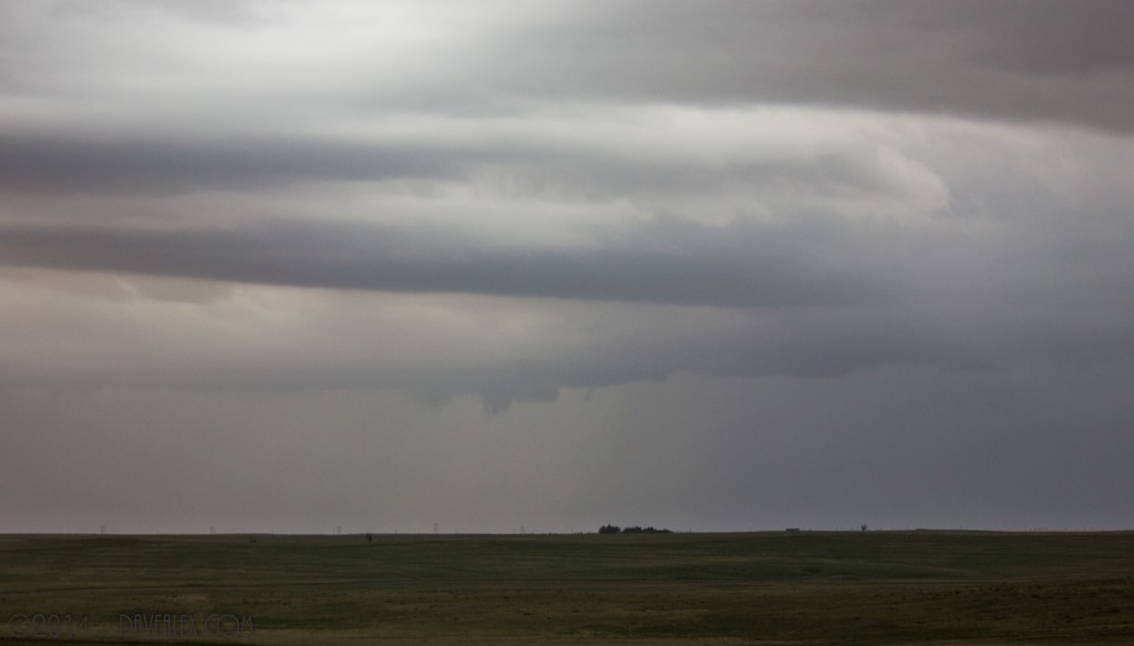
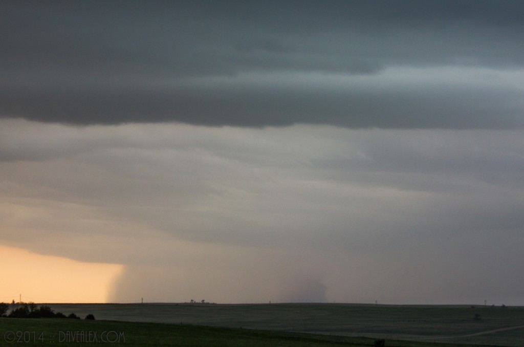
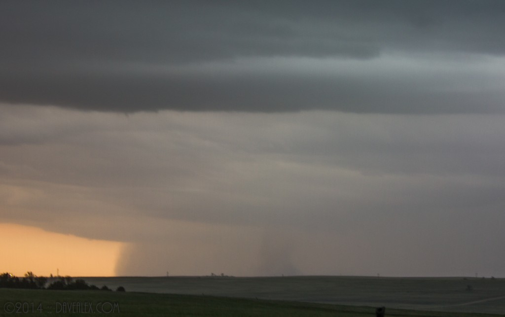
Given I saw no funnel or condensation tube, I’m going to chalk this up to a gustnado, but definitely lots of dirt and rotation on the ground!
There were two warnings today for Larkspur area..
NATIONAL WEATHER SERVICE DENVER CO
1236 PM MDT SUN JUN 8 2014
THE NATIONAL WEATHER SERVICE IN DENVER HAS ISSUED A
* TORNADO WARNING FOR…
CENTRAL DOUGLAS COUNTY IN NORTHEAST COLORADO…
* UNTIL 100 PM MDT
* AT 1235 PM MDT…A SEVERE THUNDERSTORM CAPABLE OF PRODUCING A
TORNADO WAS LOCATED NEAR SPRUCEWOOD…OR 25 MILES SOUTH OF
DENVER…MOVING EAST AT 10 MPH.
HAZARD…TORNADO AND QUARTER SIZE HAIL.
SOURCE…RADAR INDICATED ROTATION.
* LOCATIONS IMPACTED INCLUDE…
CASTLE ROCK…ROXBOROUGH PARK…LARKSPUR…DEVILS HEAD…
SPRUCEWOOD…PERRY PARK AND SEDALIA.
NATIONAL WEATHER SERVICE DENVER CO
109 PM MDT SUN JUN 8 2014
THE NATIONAL WEATHER SERVICE IN DENVER HAS ISSUED A
* TORNADO WARNING FOR…
SOUTHEASTERN DOUGLAS COUNTY IN NORTHEAST COLORADO…
* UNTIL 145 PM MDT
* AT 109 PM MDT…A SEVERE THUNDERSTORM CAPABLE OF PRODUCING A
TORNADO WAS LOCATED 7 MILES NORTHEAST OF LARKSPUR…OR 29 MILES
NORTH OF COLORADO SPRINGS…MOVING EAST AT 20 MPH.
HAZARD…TORNADO AND HALF DOLLAR SIZE HAIL.
SOURCE…RADAR INDICATED ROTATION.
* LOCATIONS IMPACTED INCLUDE…
CASTLE ROCK…LARKSPUR…FRANKTOWN…GREENLAND…PERRY PARK AND THE
PINERY.
