For the forth day in row the atmosphere was primed for severe storms over eastern Colorado. I got an early start and did the standard thing it seems…catch the first storm that popped up on the Palmer Divide. That was a storm that went just north of Elizabeth following the same patterns as many previous days. This storm would prove to be the storm of the day, tornado warned, and surrounded by chasers all the way into Kansas.
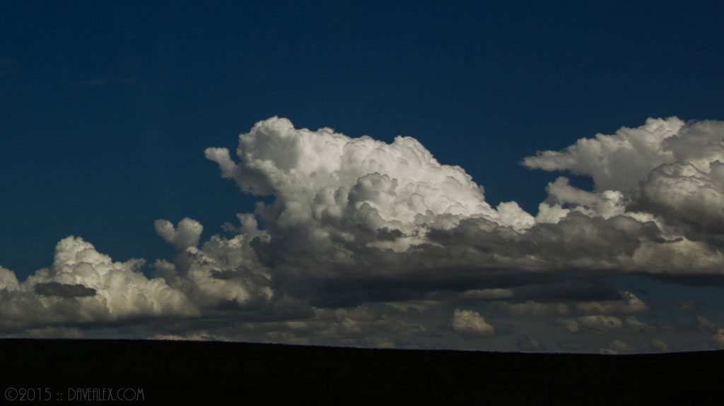
The temps were in the low 60s and the clouds were pretty high based. Looking at the surface map further out on the plains was 75/55 and in some places 80/55, so I opted to split the difference between Last Chance and Brush to hit whatever storms seems to be using the more unstable air.
The southern storm just didn’t look good to me, and it was forming in the cooler air, so I opted to head to the cell popping up SW of Fort Morgan. As I arrived it was tornado warned, of course about 10 minutes after the southern storm was also TVS warned. The Fort Morgan storm was very high based and appeared to line out rather quickly. I left it and tried to catch up with the southern storm that was along I-70 approaching Seibert.
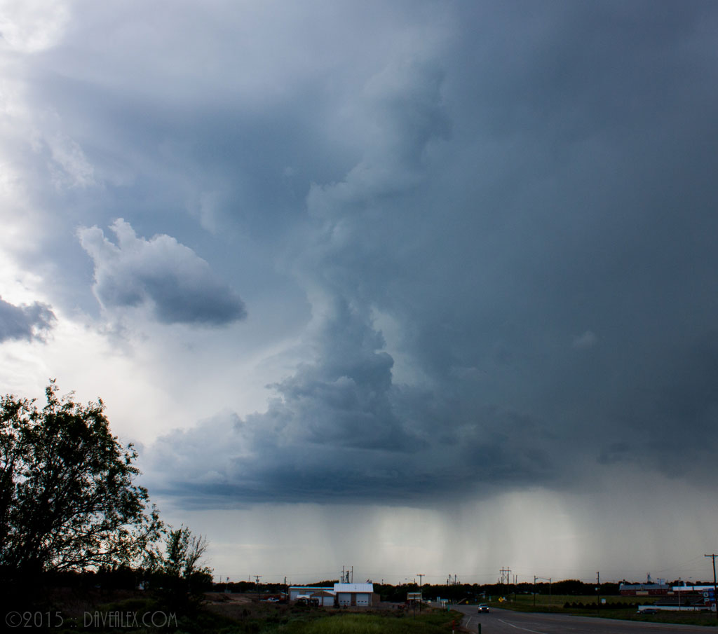
The southern cell appeared to be hitting the cap and was dissipating quickly, and the convection looked like mush which I’ve never had much luck with approaching Kansas (I like to see rock-hard popcorn type convection in the towers). I still had a ways to catch up to it so I opted to head for the new storm that was forming SE of Limon.
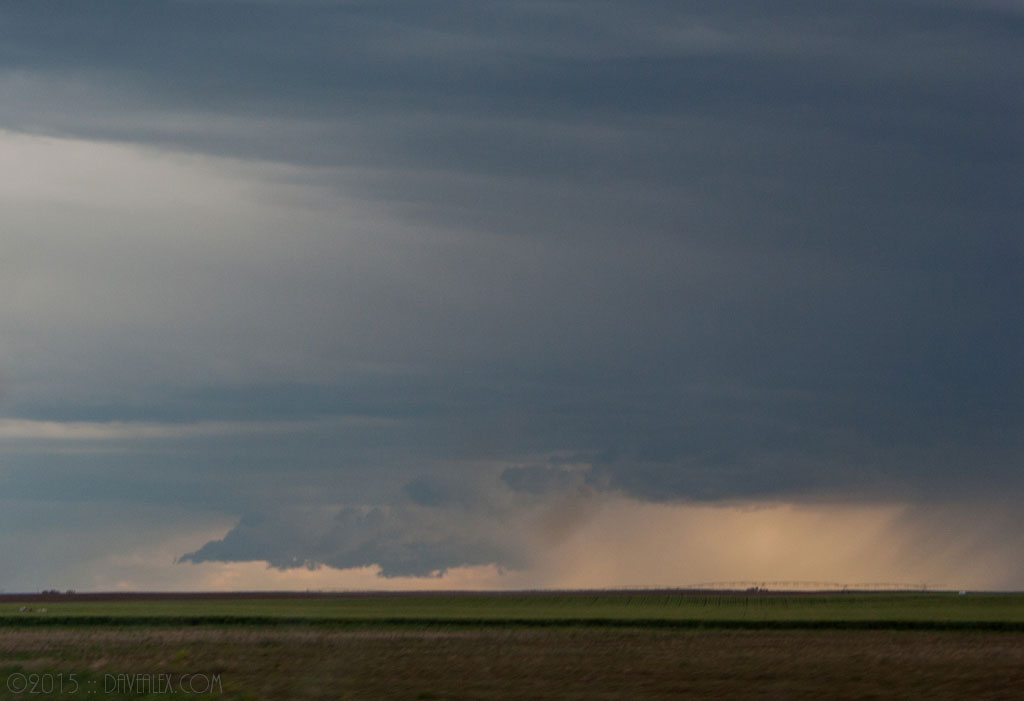
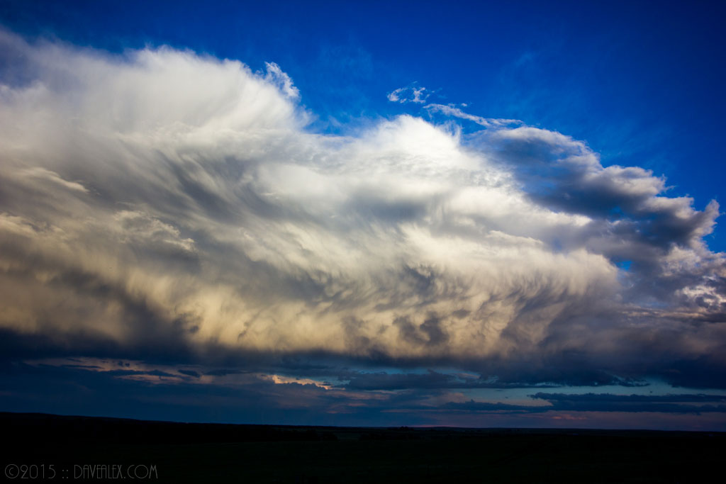
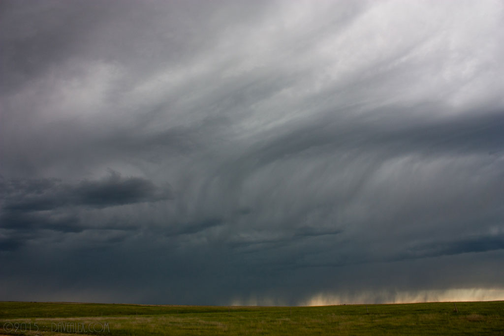
I headed south out of Cope and nearing Seibert I pulled over to check out some of the structure of the approaching storm. The radar showed this complex as a line of storms so I knew it probably wasn’t going to do anything severe (perhaps hail or wind), so I just decided to absorb the structure as it approached.
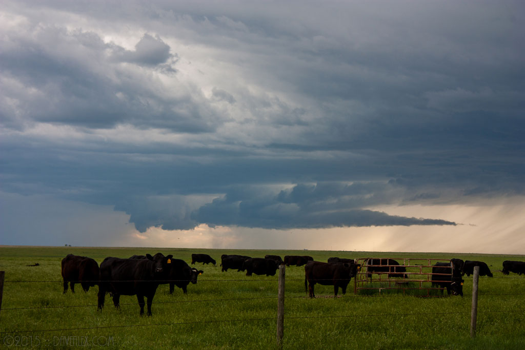
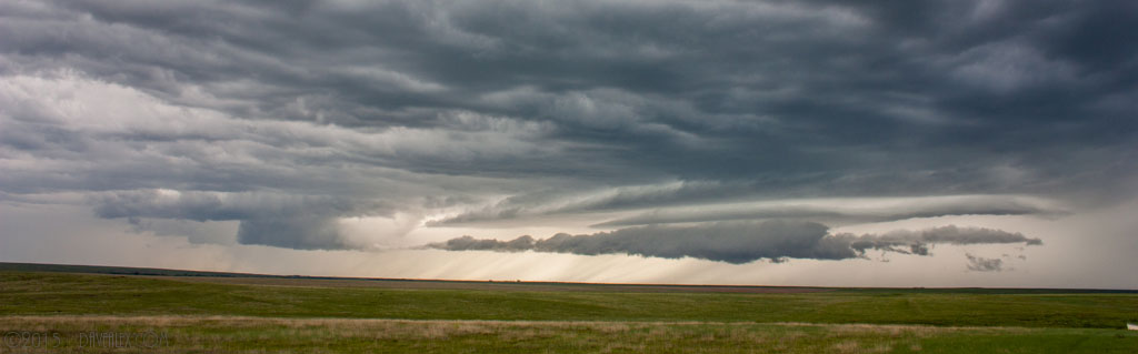
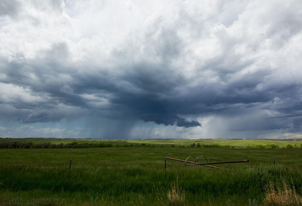
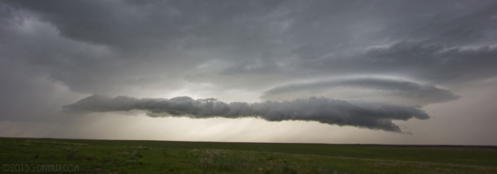
Just north of Seibert I stopped to check out this arcus roll cloud which was really neat. These clouds are similar to shelf clouds but are detached from the cloud base.
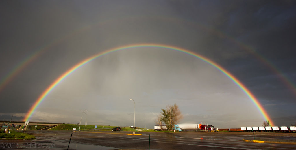
Heading back home I got to see some neat rainbows and dying cell structure while passing the Limon wind farm, which I always love to drive past/through. All-in-all a fun chase day!