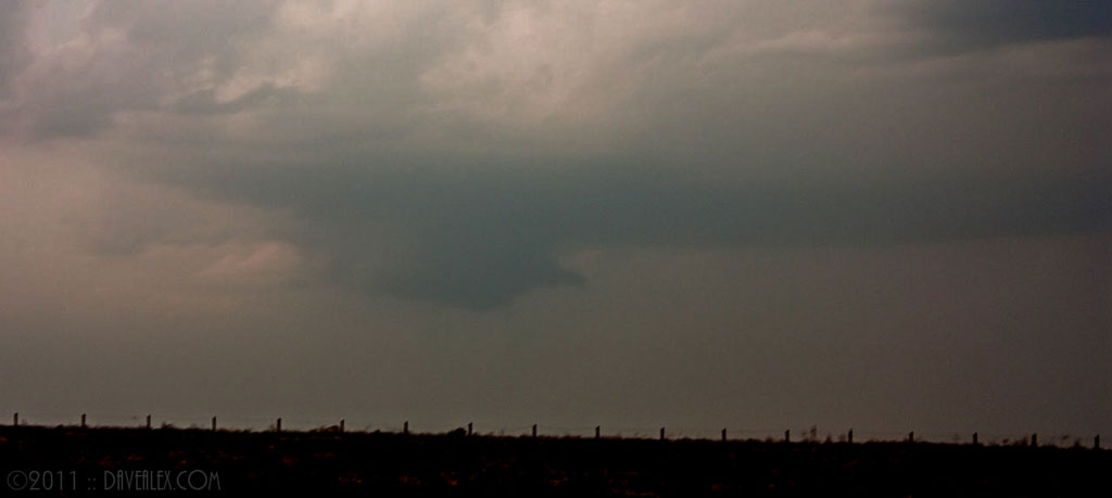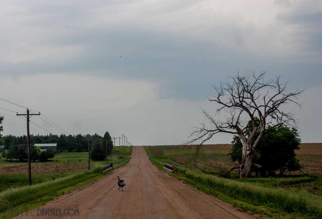
Today was a good risk of severe storms over NW Kansas and South Central Nebraska. Everything looked great so I targeted Wray knowing I’d likely be getting into Kansas or Nebraska during the evening. Got out there about 3:00 and nothing was firing; no clouds so I immediately knew there was a cap in place. It was very hazy so I knew there was good instability, but it looked like I needed to go another 60-100 miles east to get into the convection.
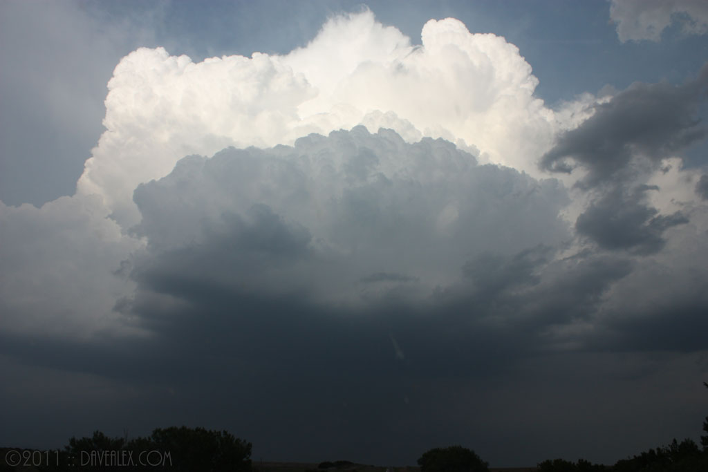
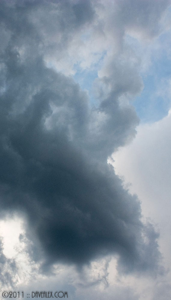
Ended up on a couple of storms that had nice wall cloud lowerings but with the haze it was difficult to see even though I was very close. Ended up on some very slick mud roads and had to redirect the chase into southern Nebraska. Was a long drive home!