Been out chasing and spotting storms a couple of times in June.  I also got a call from the NWS about a storm passing through Larkspur, but of course we were away from home in Englewood and I could only spot from afar…

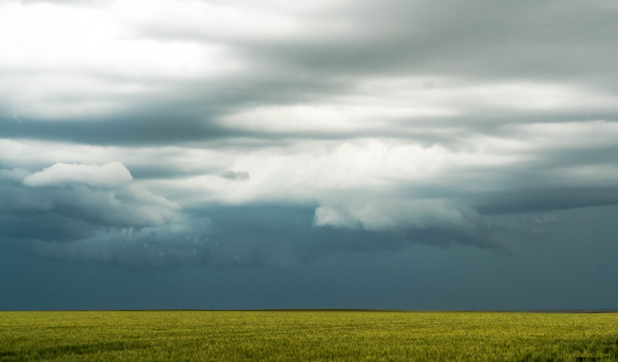
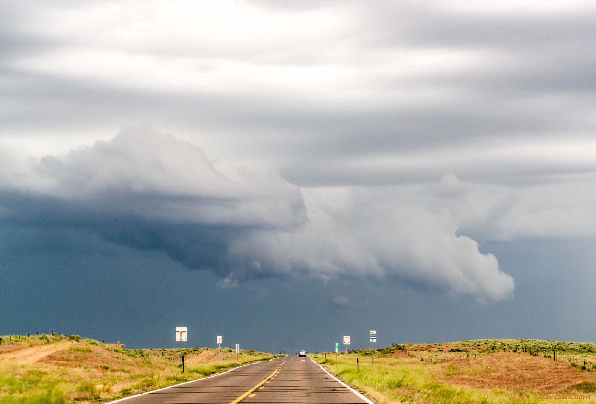
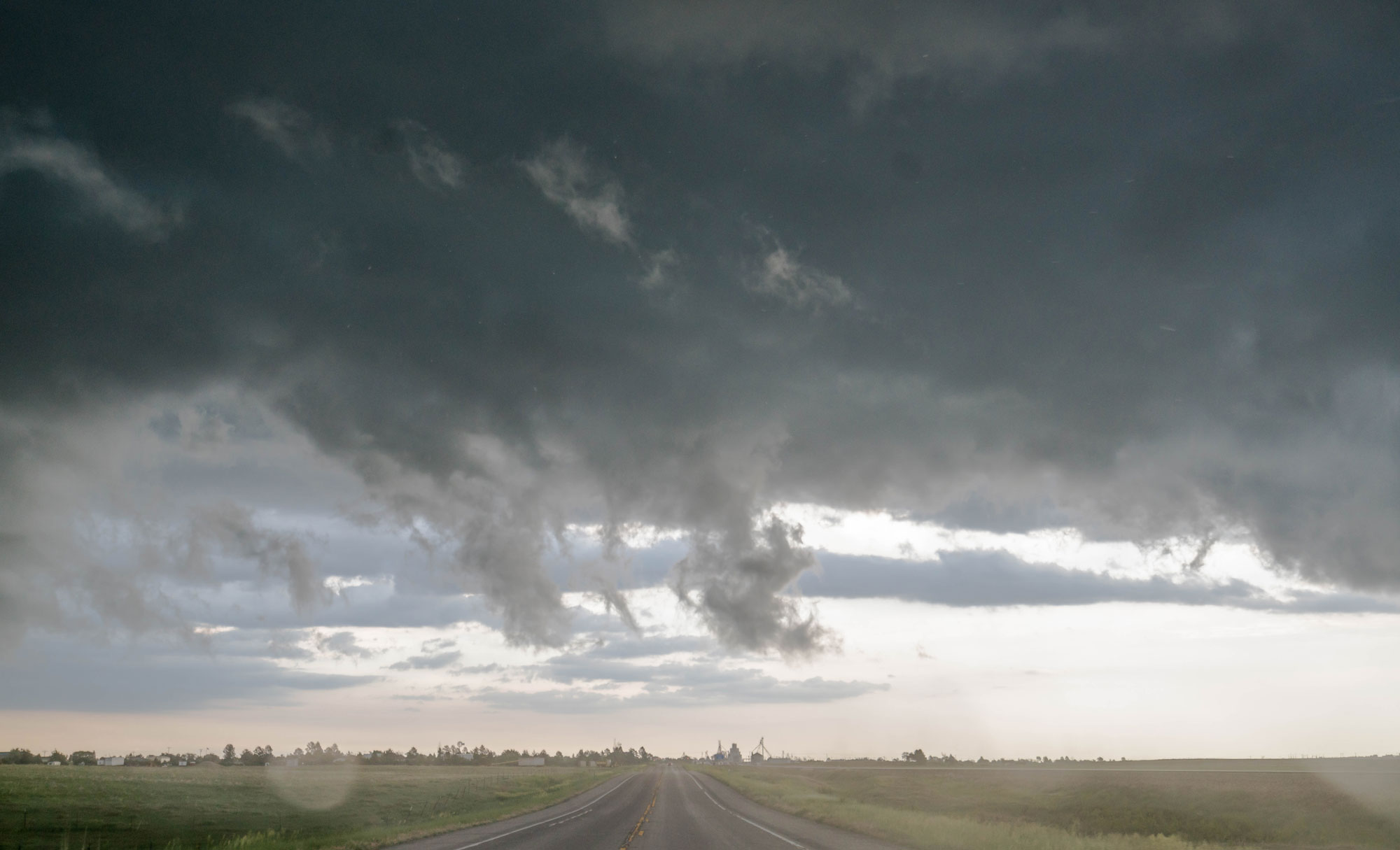
This first storm system was June 13th.  I was all over this day, playing the southern part of the Palmer Divide and then heading to Northeast Colorado calling it off around Yuma.

Yoder wind farm and wall cloud
This storm had a huge wall cloud that was dragging the ground, but I couldn’t see any rotation. There was plenty of rotation with these windmills, though, near Yoder.
ig_Storm_Jun13-09110
The storm changed quite a bit near Calhan, a nice little scud cloud swirled up and then disappeared into the storm.
tn_Storm_Jun13-09118
The two cells collided and became tornado warned near Fort Morgan.
Brush Inflow
As the two cell collided in Morgan County, this was the initial inflow component to the storm. It had been tornado warned for about 30 minutes at this time.
Brush Colorado Tornado Warned Storm
The storm I followed off the Palmer Divide collided with another storm in Morgan County. Thus there were two inflow sections to this storm for a while, this was the second, over Brush while the storm was tornado warned.
tn_Storm_Jun13-09181
Severe warned storm near Akron.
Akron Inflow
Right under the inflow scud, I love this part of the storm as the clouds are low and quickly moving as they form and then get sucked up into the storm
Cloud painting near Yuma.
Great cloud textures with this storm near Yuma.
Upward Streamer Lightning
Caught some lightning near Last Chance; this one was cool as there was a tower and some upward streamers and cloud to cloud lightning. I can’t believe they didn’t connect; they did the next time!

ig_Storm_Jun13-09470

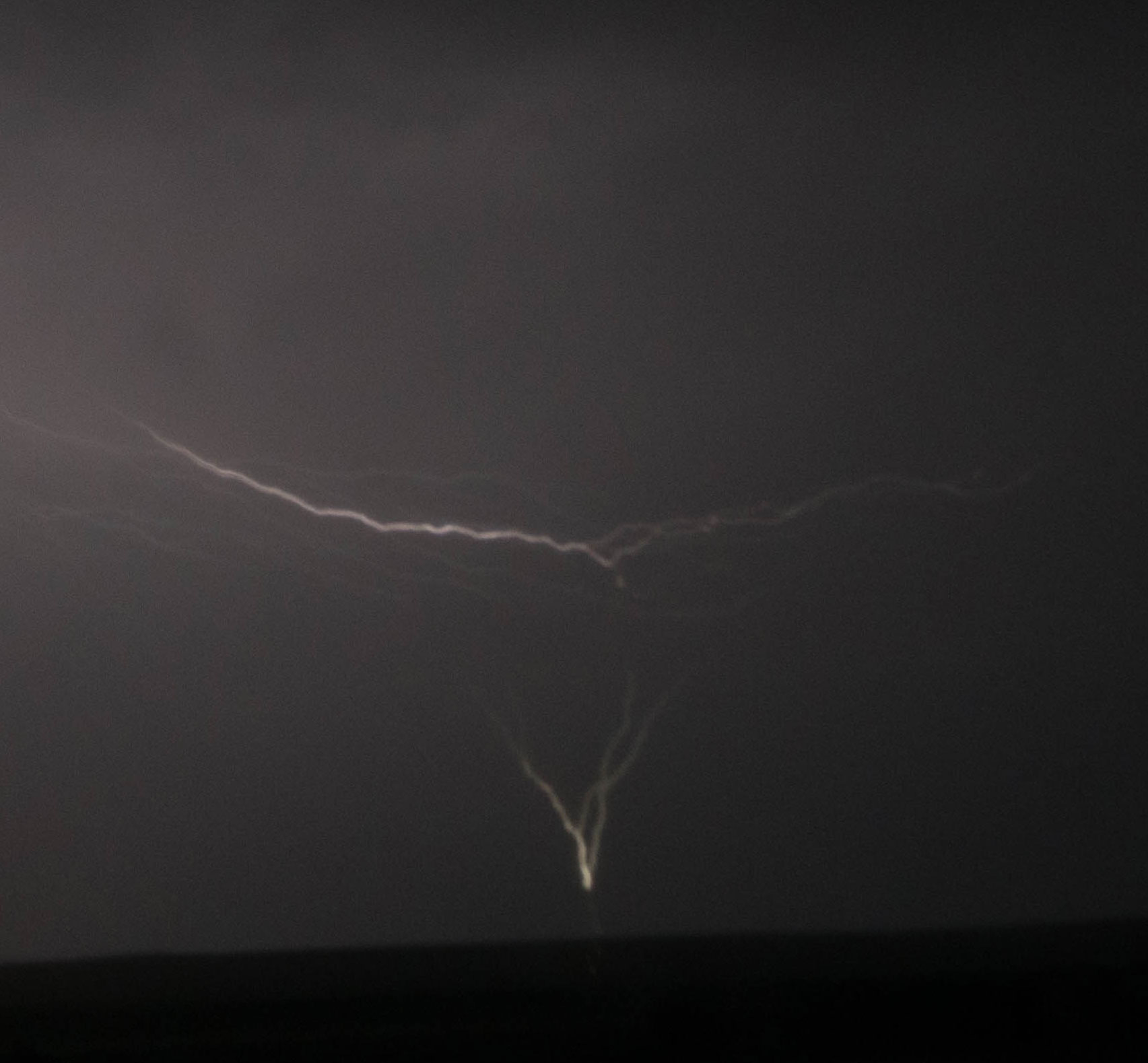
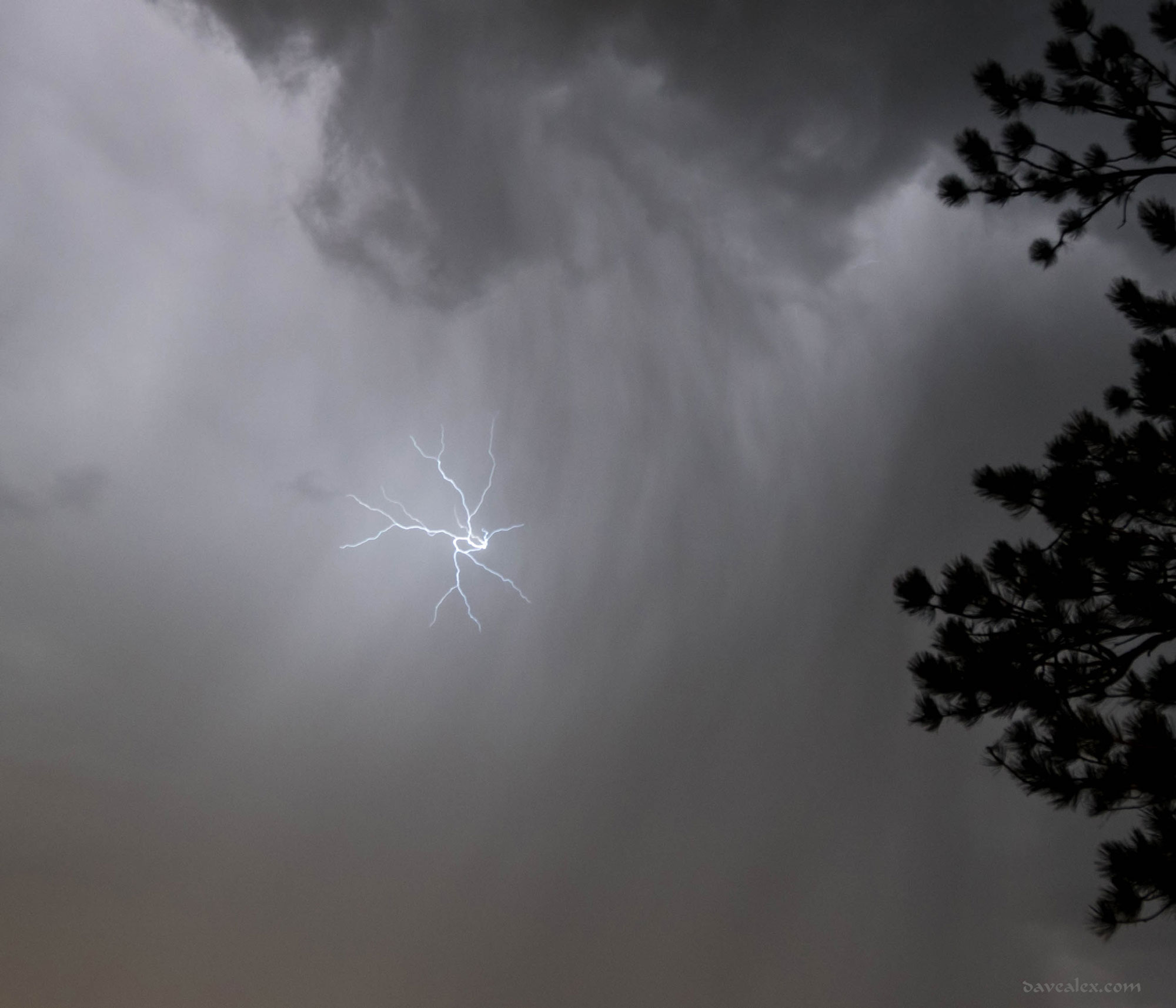
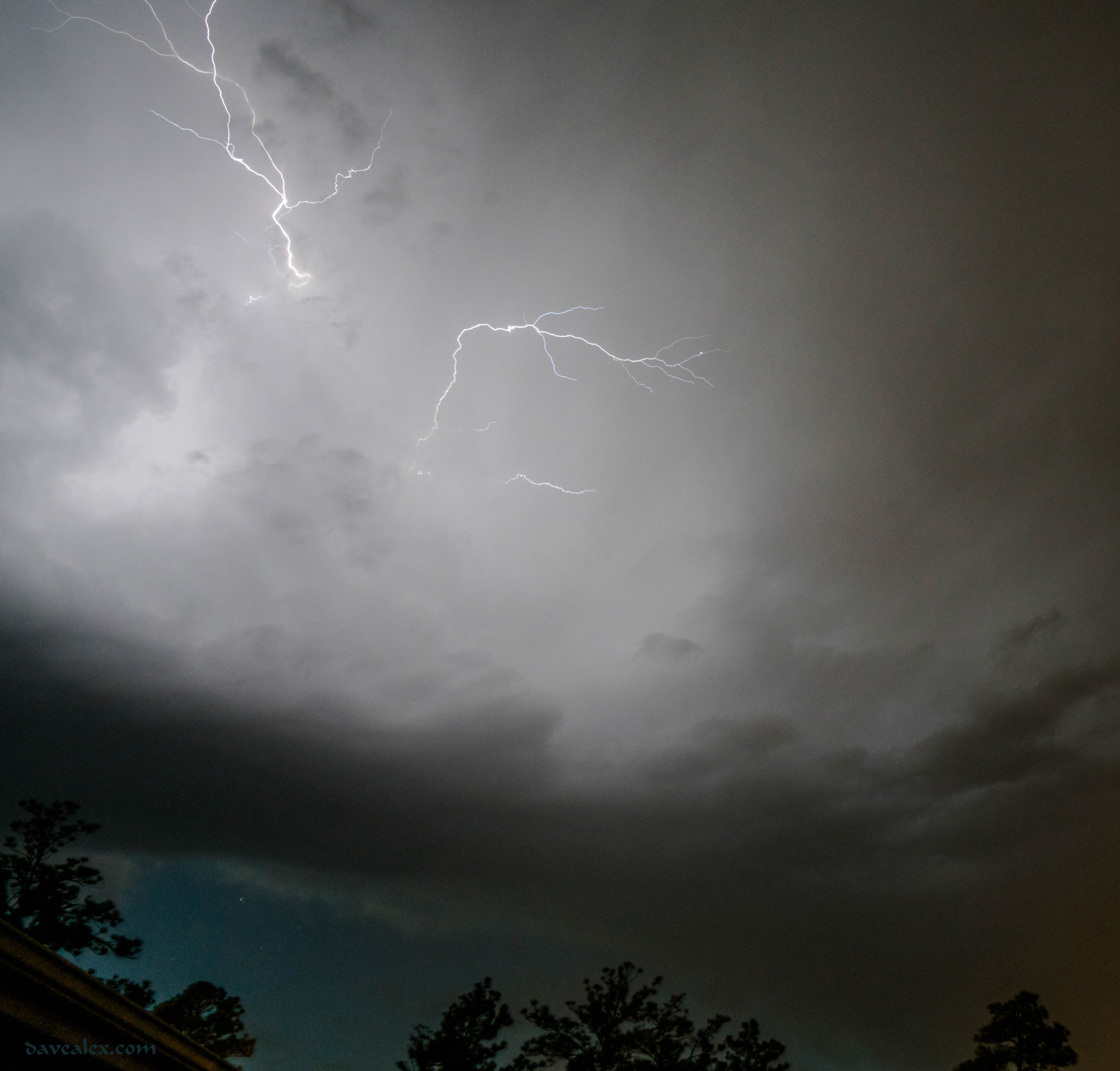
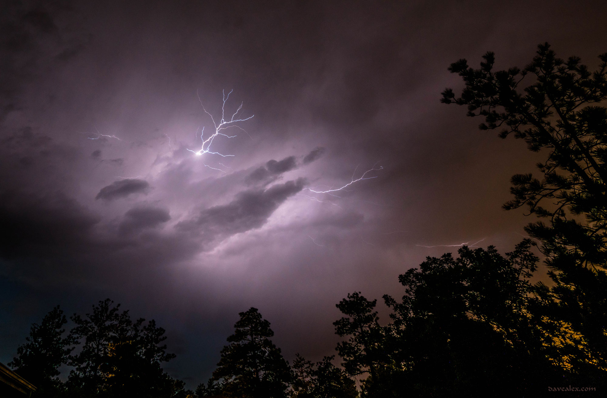
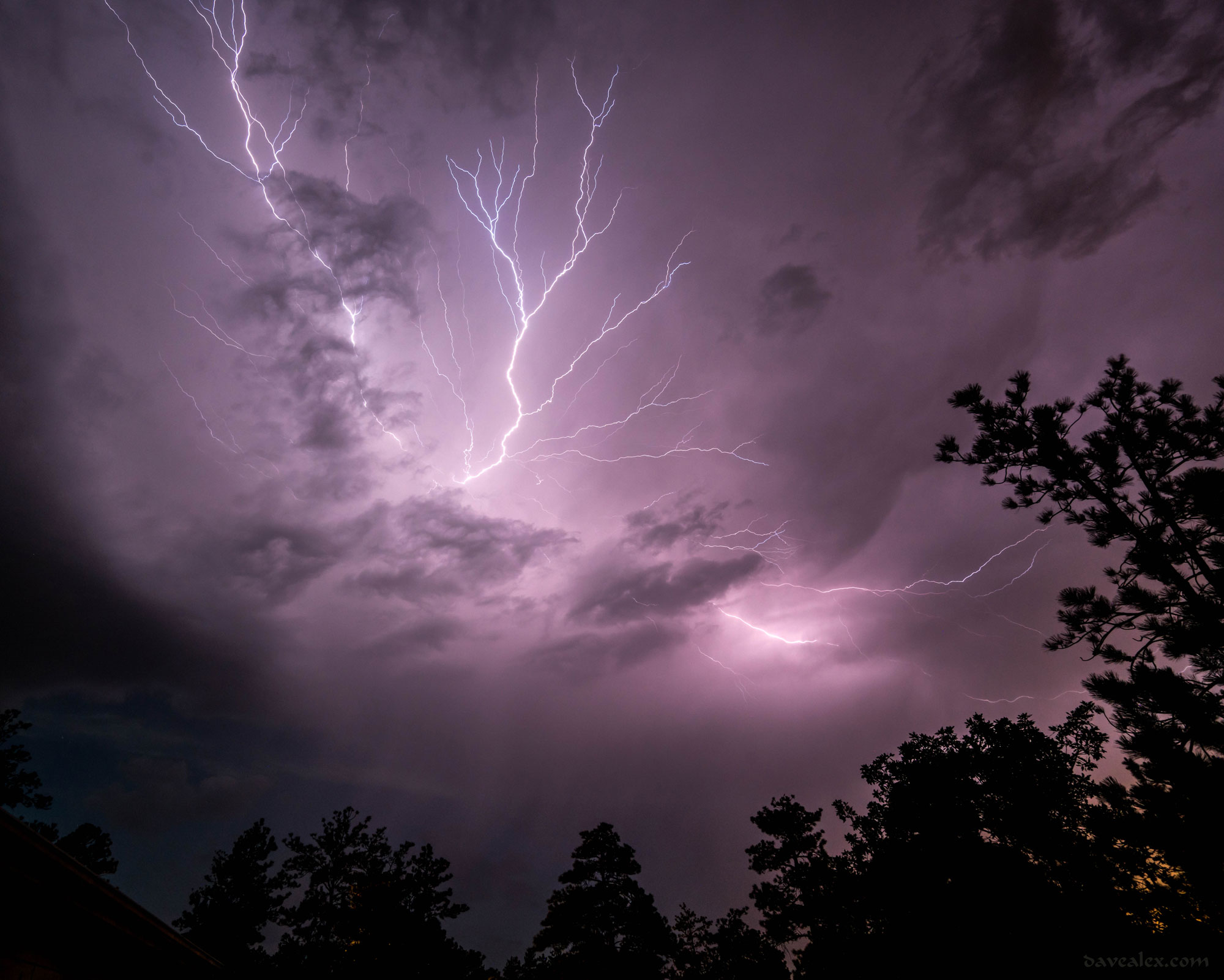
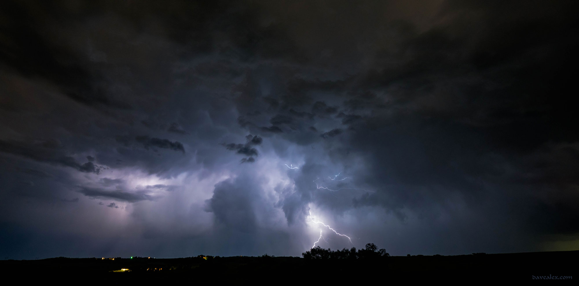
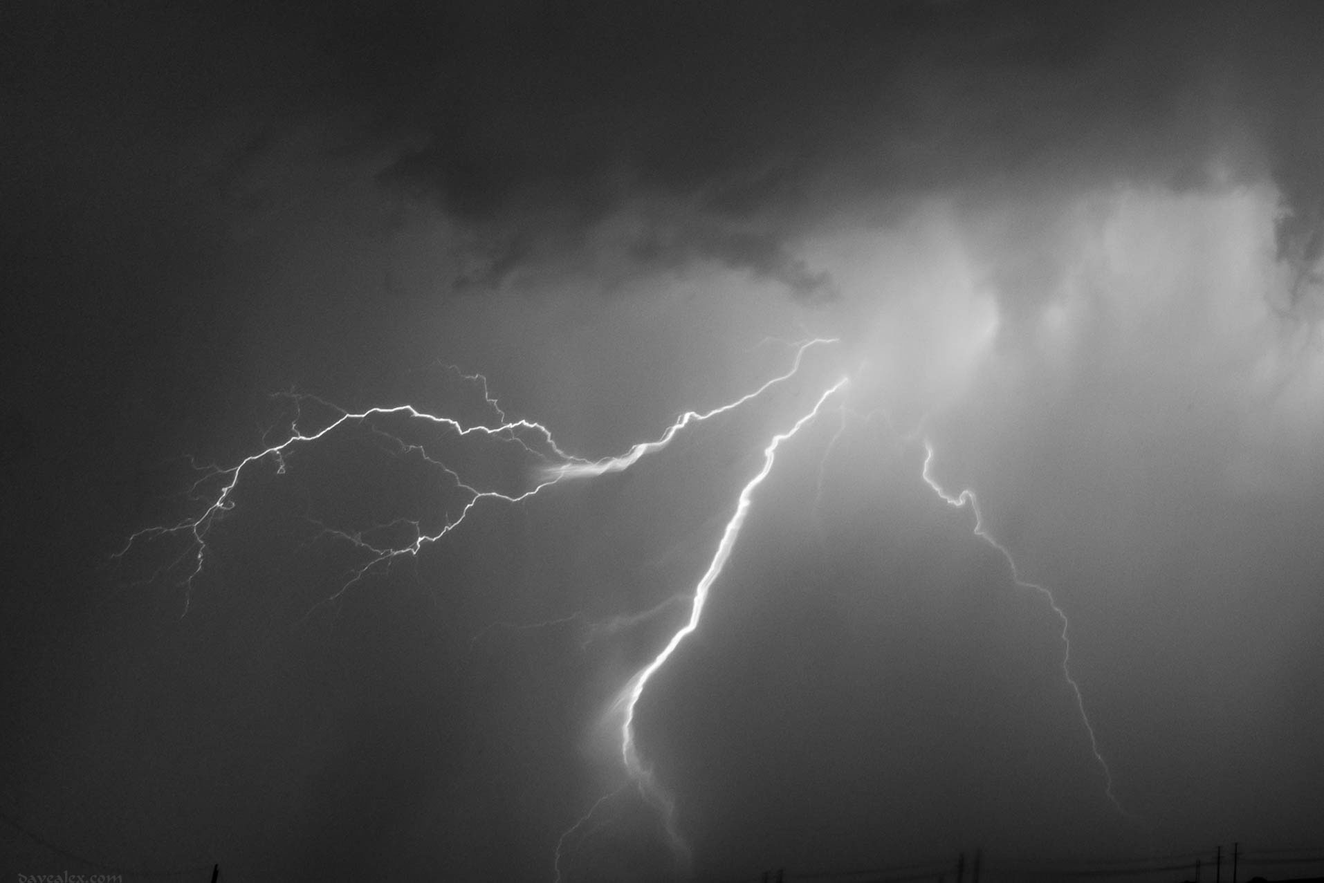
On June 19th a set of storms formed on the Palmer Divide.  There were two storms where I lived.  The first was a bit north and was great viewing from the back porch.  Most bolts were in the cloud, every now and then a spike would be seen and I was able to capture several of them.  The last storm that formed west of me was putting down very little lightning and didn’t show much on radar.  The lightning was good cloud-to-cloud anvil crawlers though.  I timed them, they were between 4.5 and 5 minutes apart, on average.  I was able to capture one, and it was the last one of the storm which dissipated overhead!

tn_Storm_Jun20-09601
A spike coming directly towards the camera.
Larkspur lightining
One of the few remaining bolts from this short-lived cell.

tn_Storm_Jun20-09704

Larkspur anvil crawler.
The last lightning from this storm as it sparked overhead!

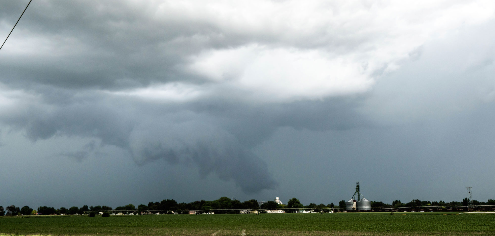
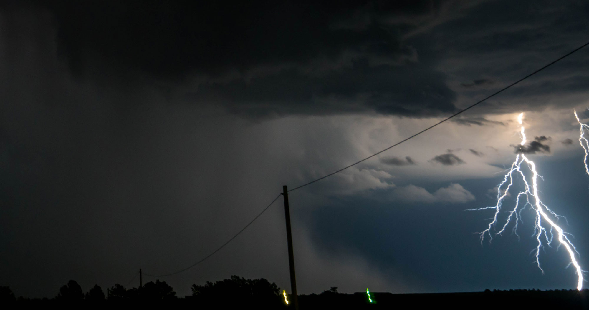
As this storm died, I jumped in the car and headed back out to check out the previous storm from one of my favorite lookouts in eastern Douglas County, about 15 minutes away. The storm became severe warned for half-dollar sized hail, but in spotting it I only saw nickel sized hail.  Watched the storm until after midnight as it entered Elbert County and then headed home.

Fireflies and lightning
East Douglas County, you can’t see them, but the field was filled with fireflies!

tn_Storm_Jun20-09859

tn_Storm_Jun20-09877

tn_Storm_Jun20-09891

Eastern Larkspur Barn
A cool barn I pass just east of Larkspur. It is pretty this time of year!

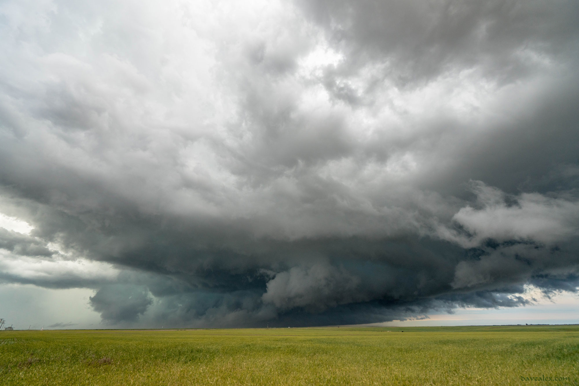
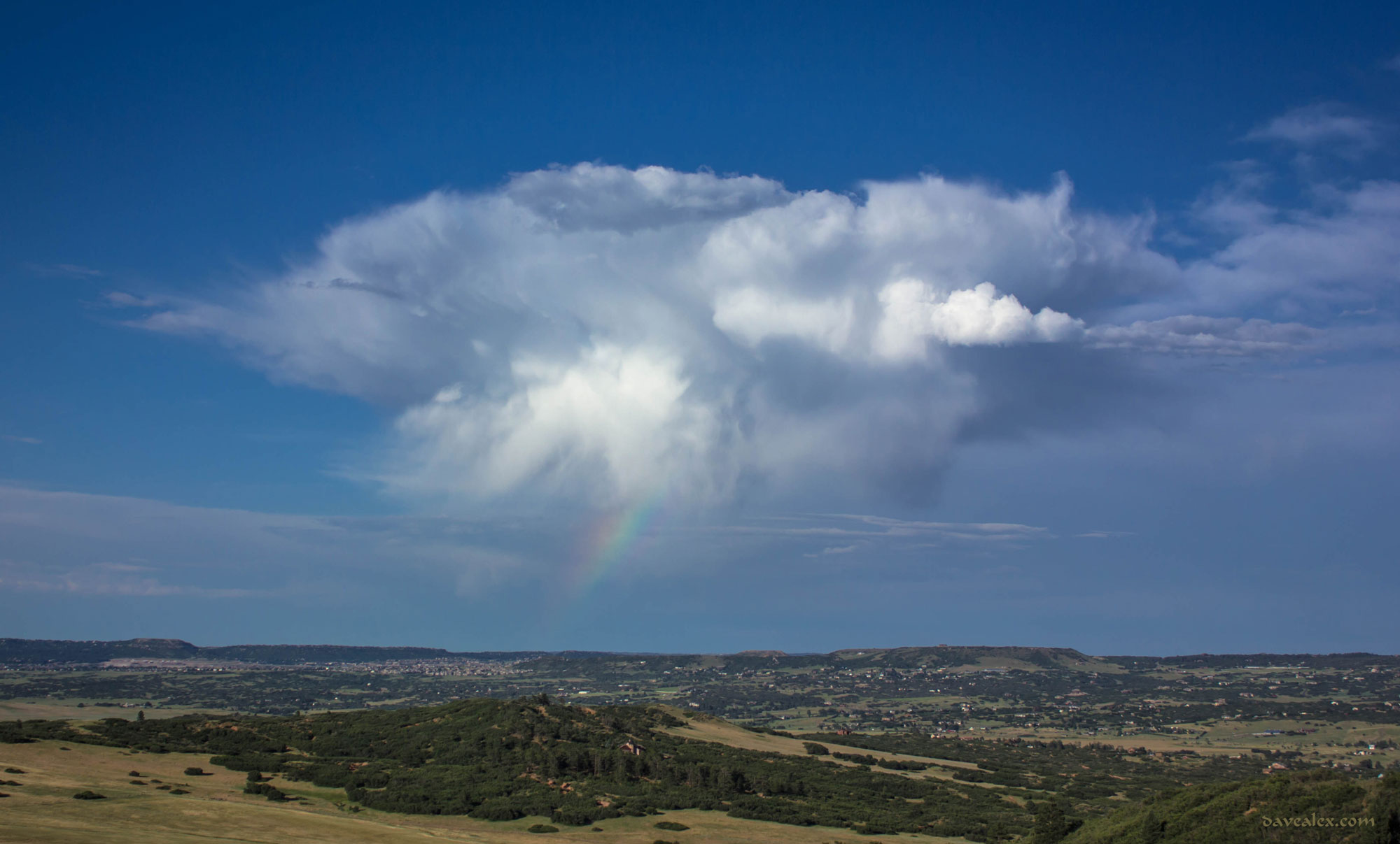
Another storm came to me on June 28th.  This one had some neat lowerings that were right overhead.

Larkspur storm
Looking straight up in the front yard.
Larkspur Storm
Same formation but from the back porch.
larkspur storm clouds
Loved the colors and motion of this storm!

tn_Clouds-00033

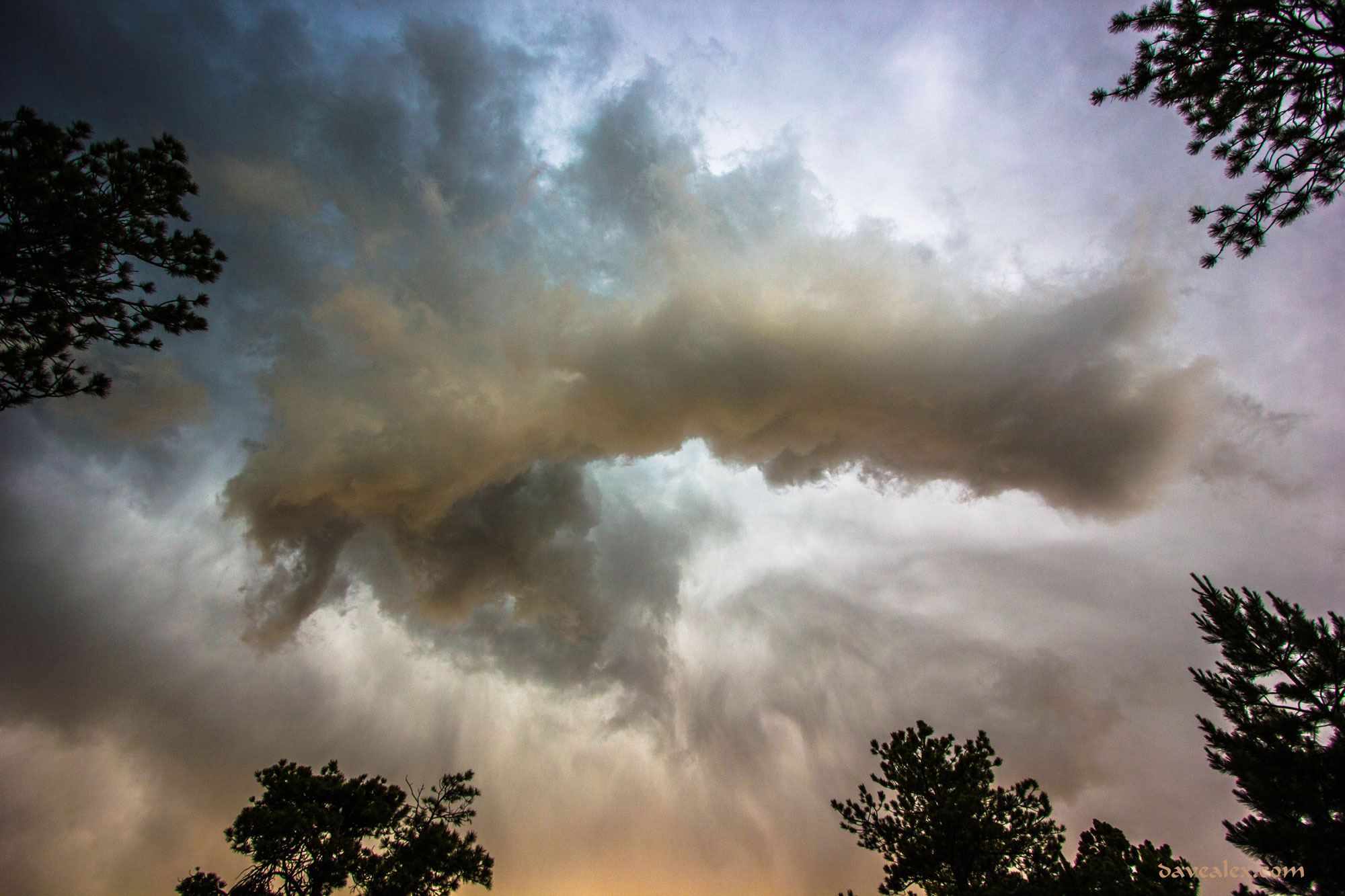
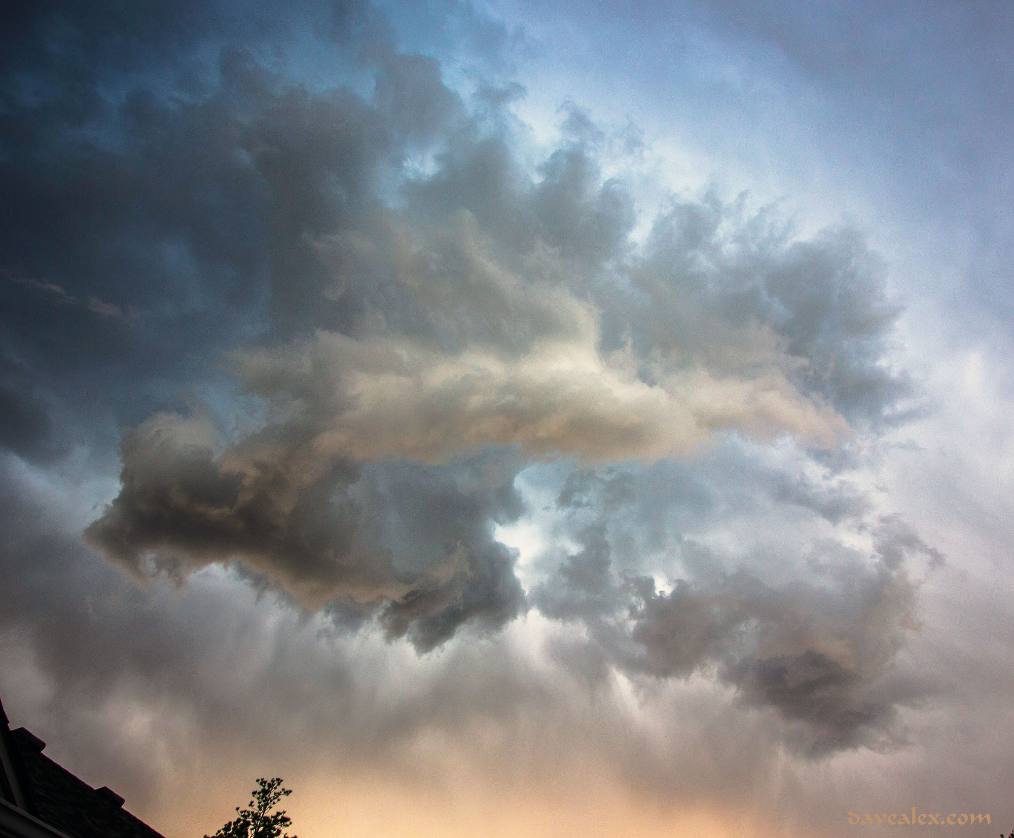
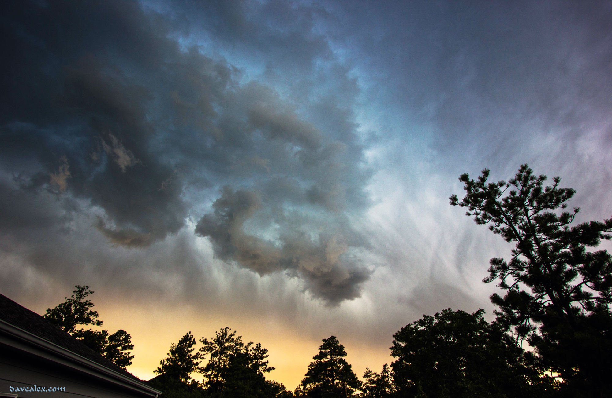
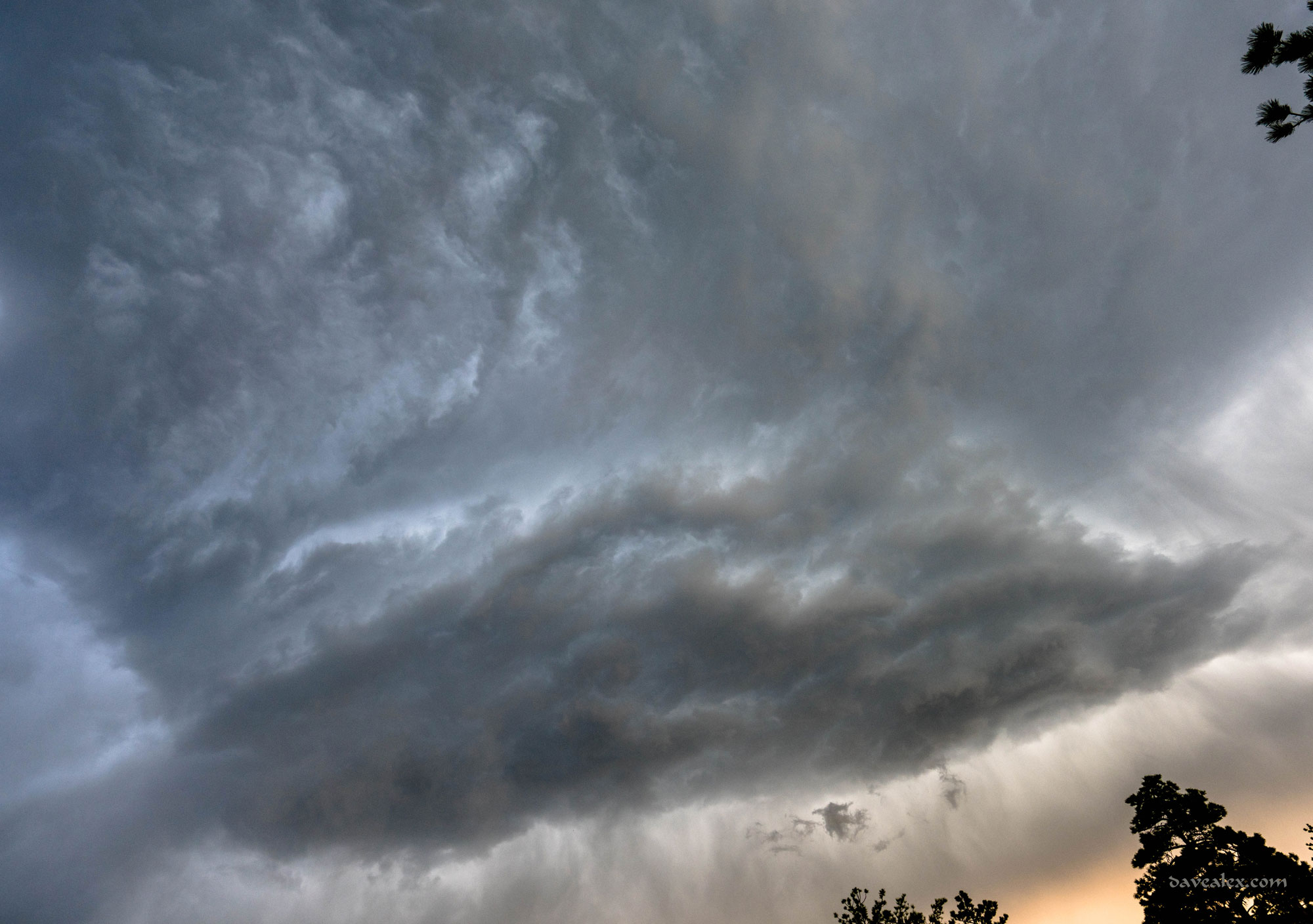
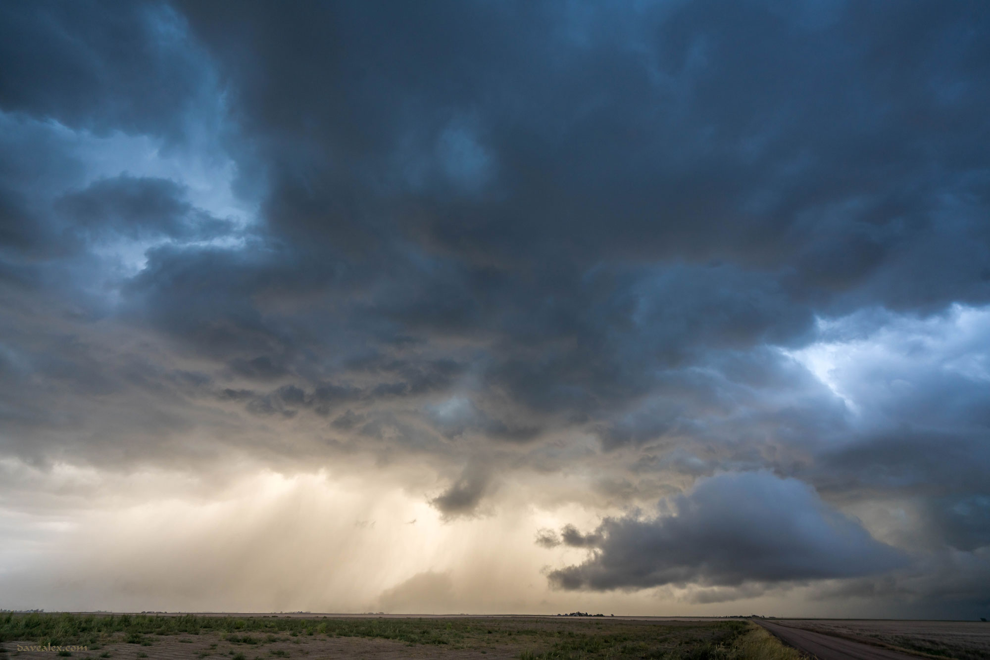
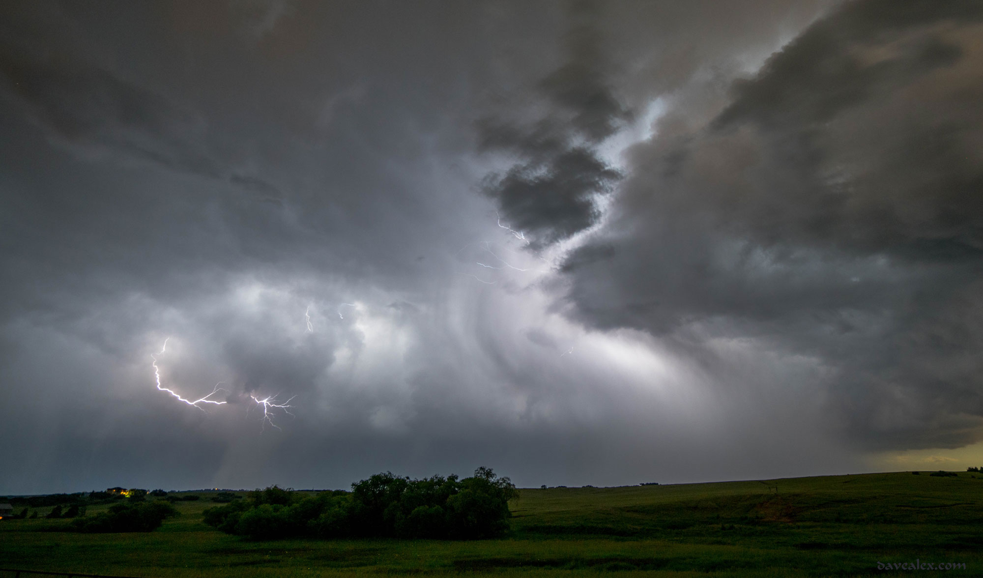
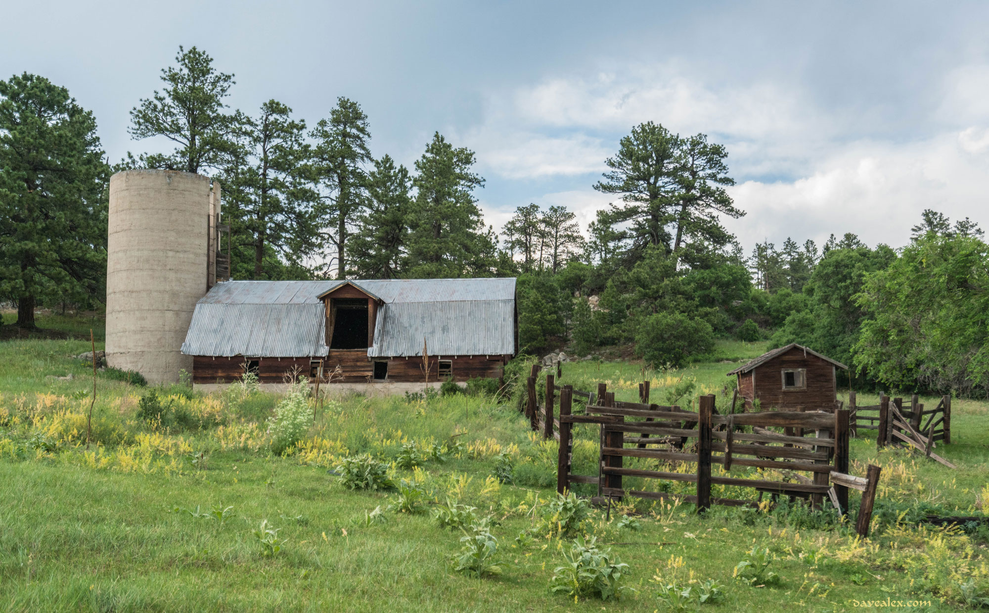
This storm put down some lightning and light rain at Devils Head, but didn’t end up doing much other than looking spectacular as it flowed across the Palmer Divide.  Taken from Jackson Creek road, overlooking Castle Rock.

tn_LGGMC-DevilsHead-July8-8036J