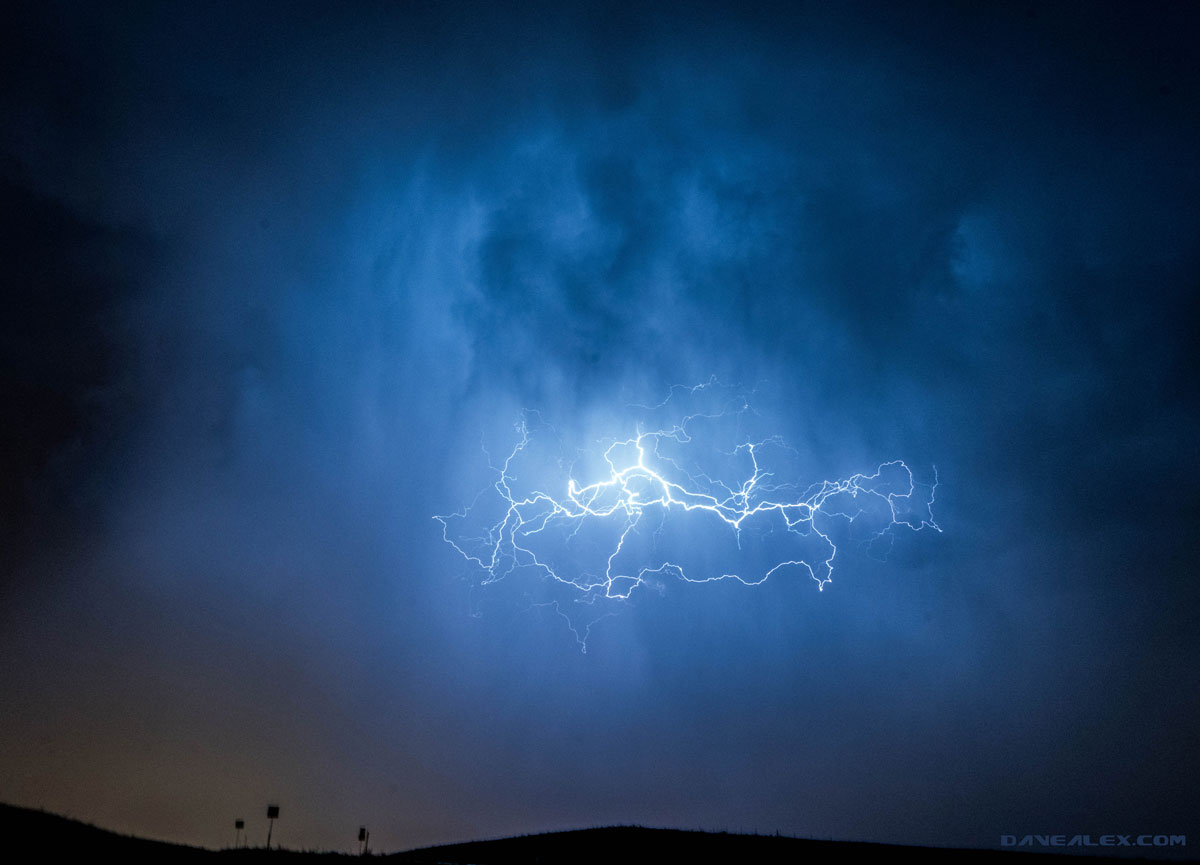
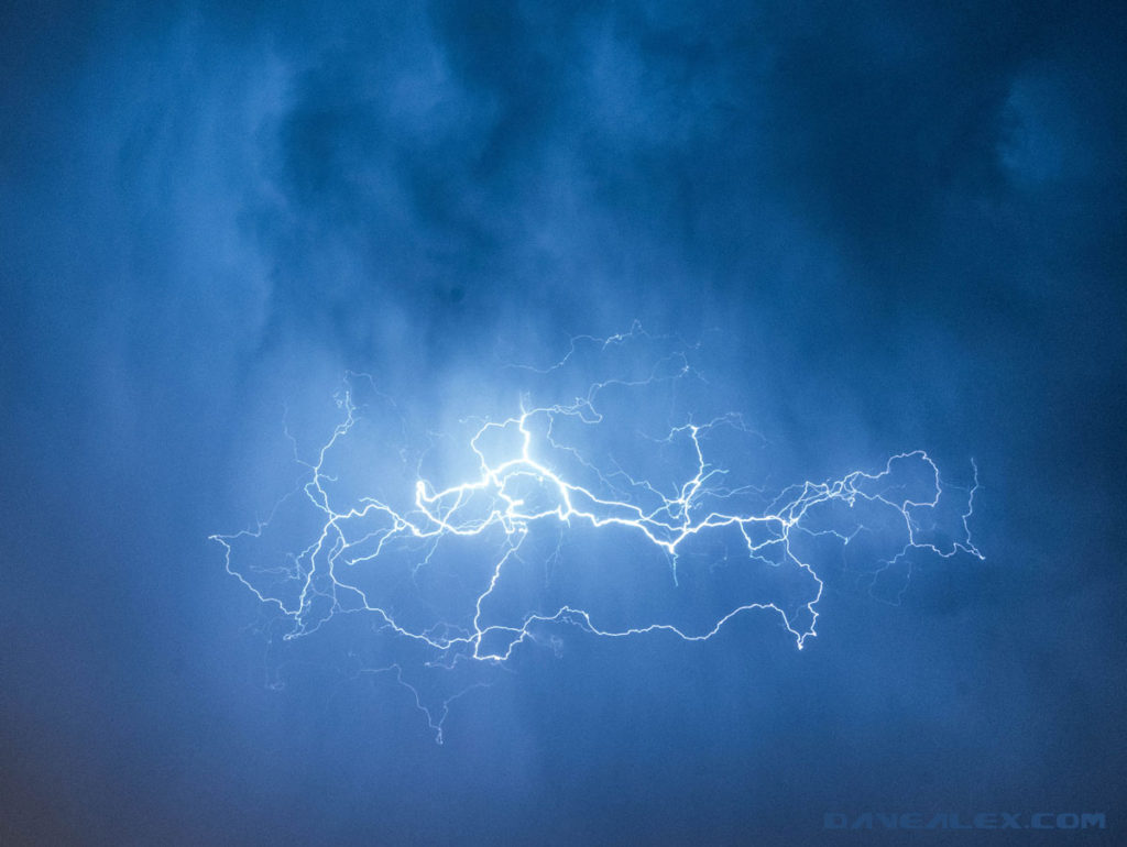
We’ve been having an active spring with some large multi-day snow storms. There were forecasted storms for the afternoon into the evening and the early evening was dry, yet cold. It didn’t seem like thunderstorm weather. But about 7:30pm, a storm formed near the Air Force Academy moving northeast.
As the storm entered castle rock it started to produce lightning and hail. A true thunderstorm! I tried to hang out on the periphery of the storm to get out of the rain and have more to see; but the shape and direction of the storm didn’t have a dry option.
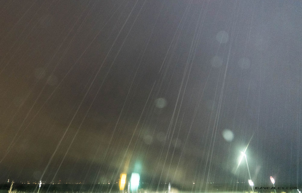
In the hopes to get out of the rain/hail I jetted north with the target of the Castle Pines area, I have a couple of nice vantage points in that area that were hopefully west of the storm and providing some cool views of the lightning. As I was driving through Castle Rock the hail got quite big, I’d estimate quarter size, but it was rather soft and mushy. The National Weather Service issues a Severe Thunderstorm warning for the area due to this; I wanted to size the hail and provide a report; but I was not in a good position to stop.
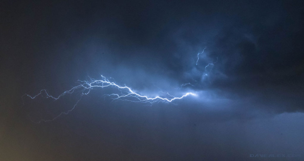
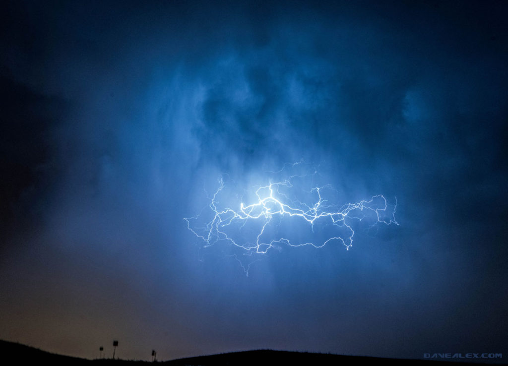
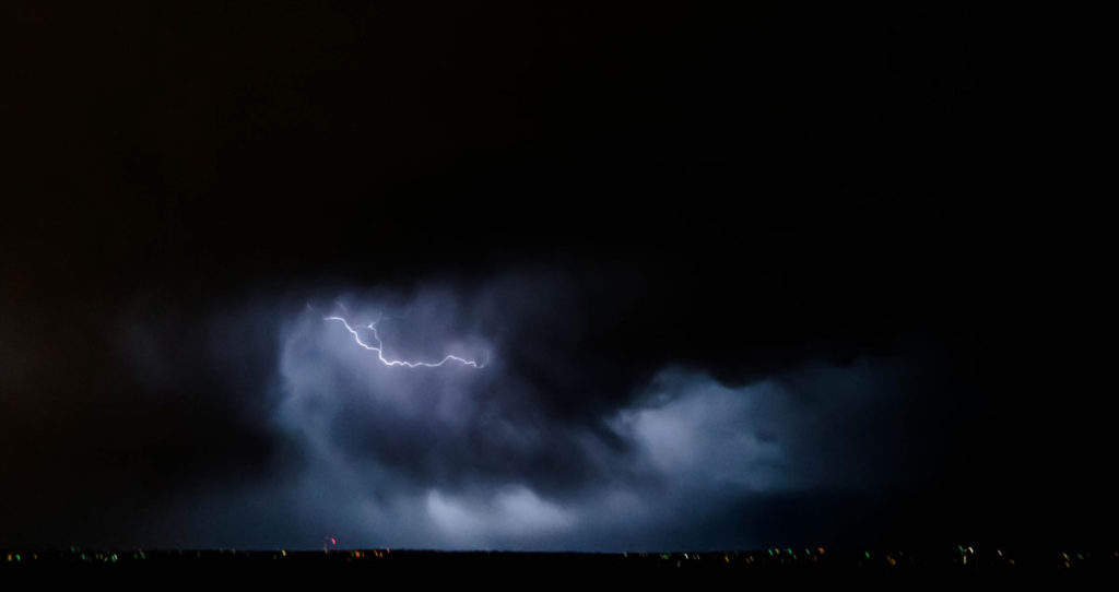
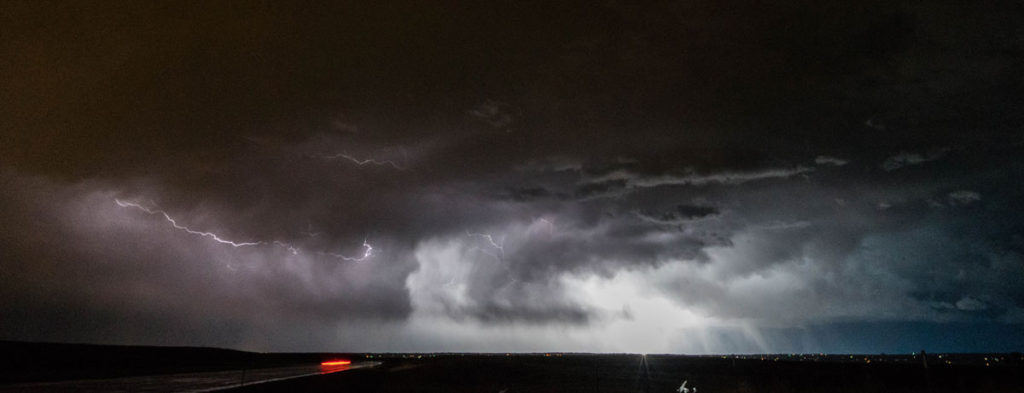
After the storm passed over I was able to get some lightning shots; but due to it still raining I couldn’t use a tripod, but the lighting was too close for me to get out of the car. I watched the storm as it moved over Aurora and then another cell formed to the south and east, heading east of Parker. Lots of great in-cloud lightning illuminated the storm and sheets of rain. Although not a supercell or a huge storm, it was fun to watch the first thunderstorm of the year here on the western Palmer Divide!
