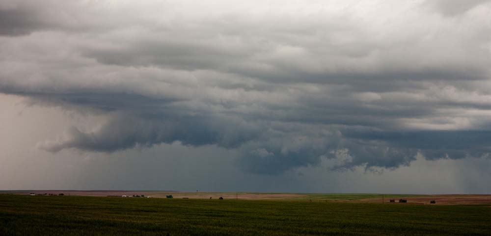
Another big day for weather. The estimated Instability (CAPE values of around 2000) were not as large as the day before, but there WERE going to be big storms. The storm that formed around 3:00pm over Golden that put down 3″ of hail on the ground (and 1″ hailballs) I believe was the straw that broke the camel’s back and prompted a tornado watch for all of eastern Colorado. I was getting off work and looking west the storm was just going to go north of us. So I decided to check it out, since I was there and all….
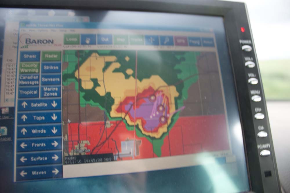
As I got out of town I heard the storm was Tornado warned, but Radar (not visual), so I figured I’d stay on this. I got north of Bennett and parked for a while.
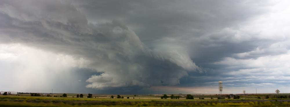
I drove north a bit and the storm was looking pretty mean so I jumped out and started to take some picture and film. I heard that there were funnels reported near Barr Lake (just north of my location) as well; so everything was looking ripe.
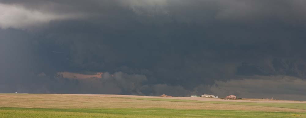
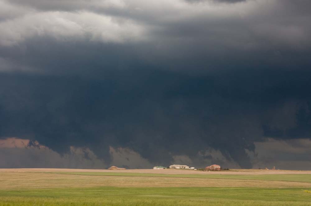
For all of these shots, some looked like tornado(s) to me, but I couldn’t detect if they were rotating. There were no confirmed tornadoes in the SPC reports; so either I’m the only one that saw these (doubt that) or they were not tornadoes…I can’t report them as tornadoes unless I’m sure, which in all cases I wasn’t…
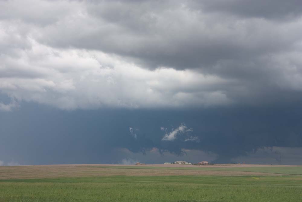
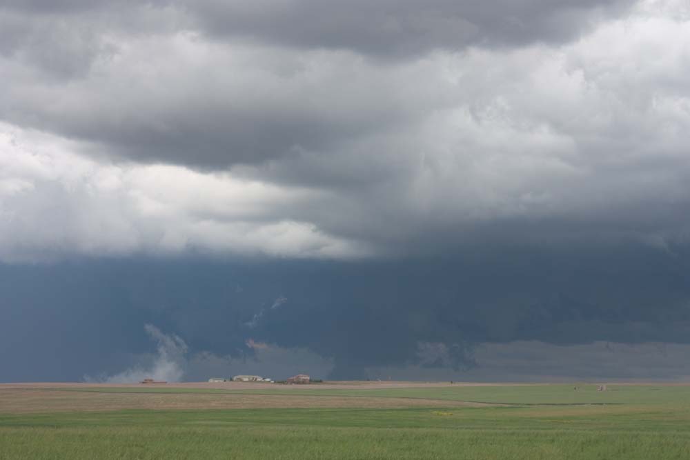
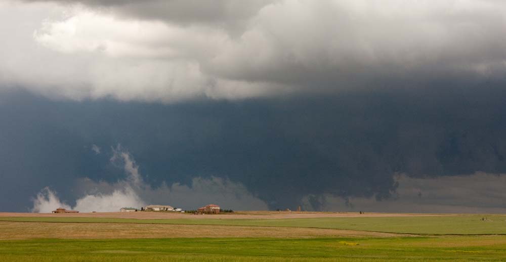
I suspect the ominous looking formations I was seeing were something like this, and with a hill in the way they appeared to be on ground but perhaps weren’t. Regardless, really great structure and clouds!
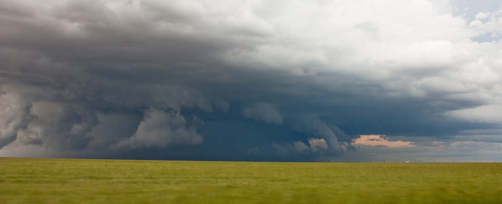
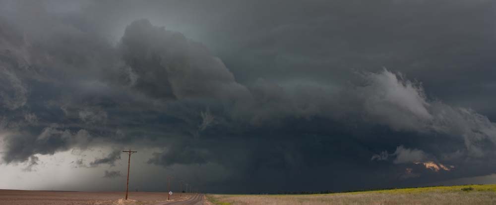
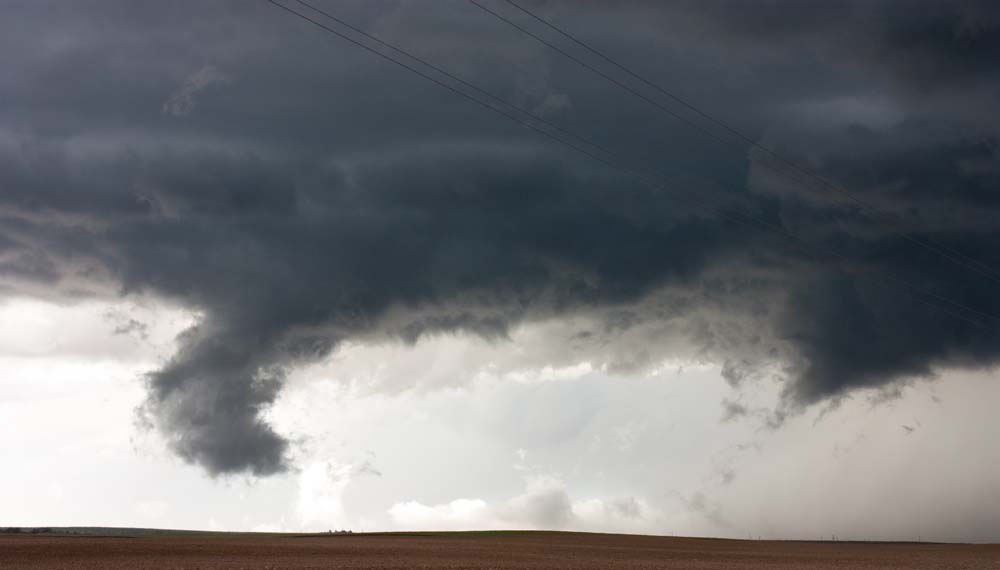
While south of Prospect Valley, I was watching the storm with a volunteer firefighter and we saw this. Not sure what to make of it; it looked very ominous but I could not detect rotation. Cool structure for sure!
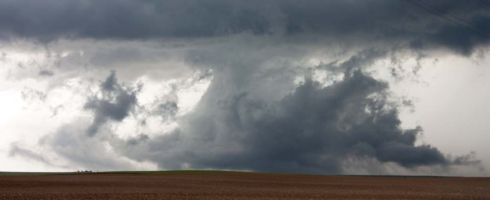
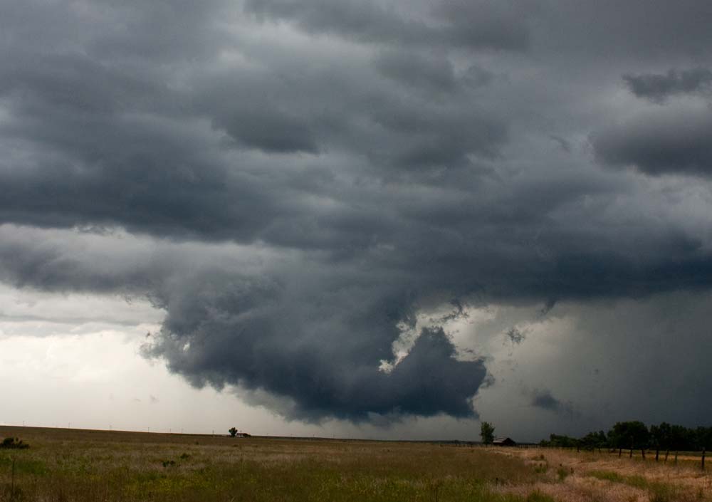
This was embedded in the rain, but it was weird…and suspect!
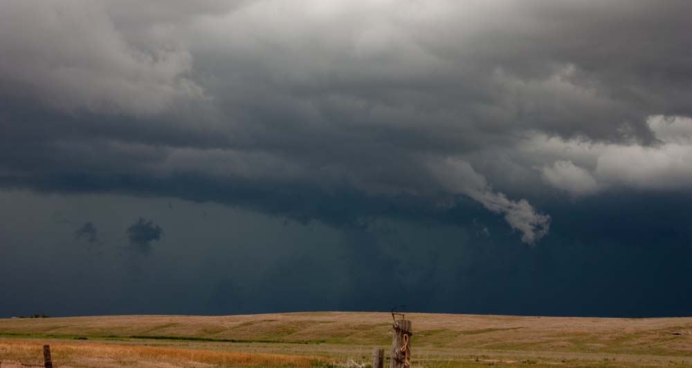
Then I saw this…which is very ominous! Not sure if it was rotating though, so can’t call it a tornado…but it sure did look that way!
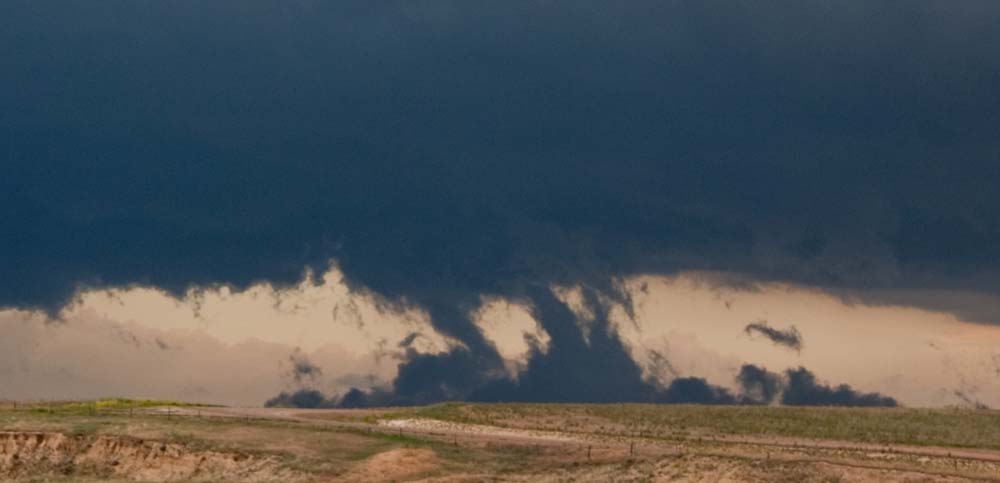
This was neat. There was an outflow that was hitting the ground and then getting sucked back up into the storm. This was visible for over 15 minutes, and was very visibly moving.
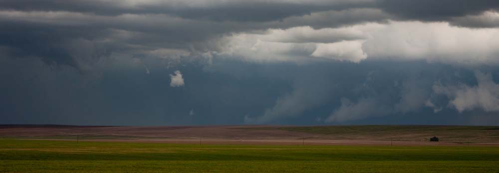
The structure of this storm was worth the price of admission for sure!
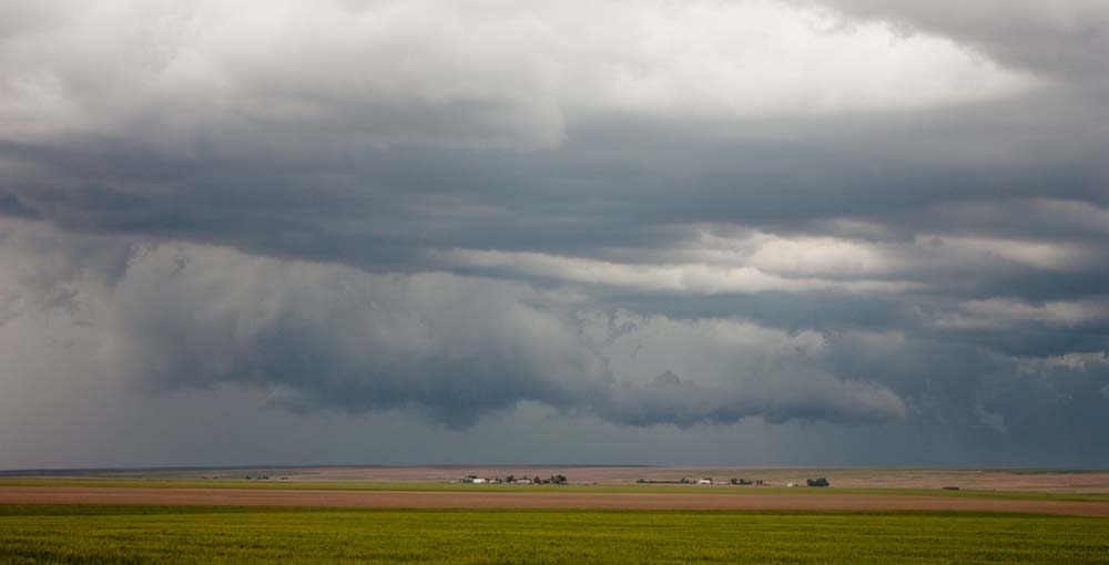
Just south of the storm was some surreal clouds.

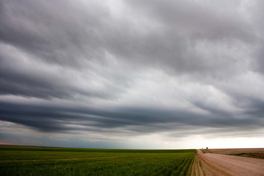
What a day. Ended up not feeling too well (headache, sure it was allergies) and so I decided to head home. I ended up merging with a storm in Strasburg that put down some 2″ hail. Yikes! The overall structure of this storm was great. An awesome chase!
