Day #3. Thursday. 6/9/2005. Northwest Kansas Tornado Outbreak.
We woke up today with some good news. The outflow boundary from the Wichita storms was pushing into central Oklahoma but there was a 4 county wide corridor of unobstructed area in central to western Kansas that was pushing warm moisture up into north western Kansas. In Russell where we stayed the night we woke up to northerly winds that were 25-35 mph and were very muggy.
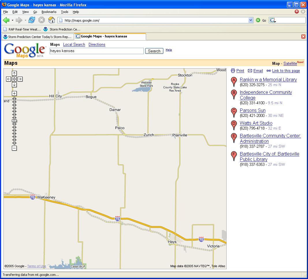
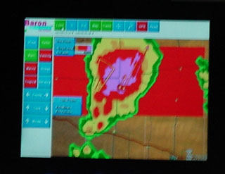
There was a dry line in western Kansas, a low pressure in north eastern Colorado, a synoptic warm front in north western Kansas all coming together for a classic triple-point in North western Kansas. We headed west and as we knew one or more storms would go up and dominate. We found our storm on radar that exploded (went from a column to huge anvil in 20 minutes) just west of Hayes.
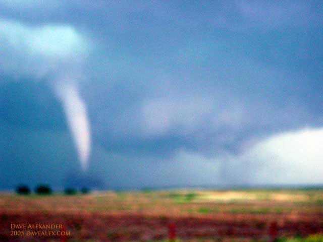
This storm took a while to get organized but if finally did around Hill City. Boy did it. As I was talking to the local Sheriff the very active wall cloud popped down a large stovepipe tornado. We followed this storm into Hill City and by that time it was about 2 miles south of town heading north east.
We headed south into its path and after we passed the river we had to quickly turn around as this monster wedge was less than 1/4 mile away and
coming straight at us. This was a very violent tornado and we hoped that it didn’t cross the river as there was a group of about 6 houses that would have been quickly demolished. This storm formed a 1/4 mile wide wedge and became rain wrapped so we couldn’t see it. We knew it was in there by the flashing of power transformers within the rain wrapped core. The storm started building a new wall cloud in front of the rain wrapped mess and quickly put down another tornado.
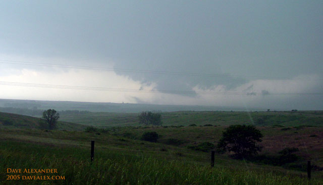
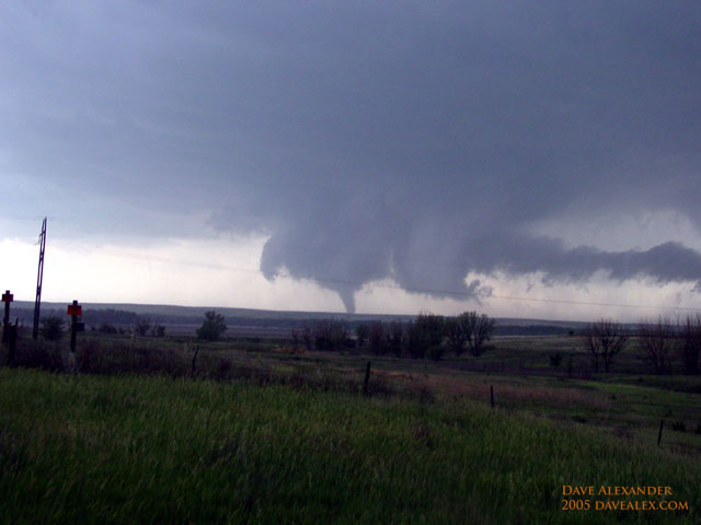
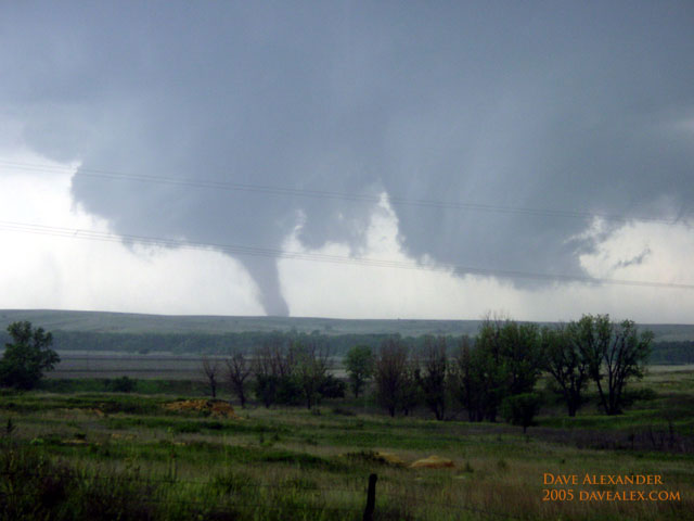
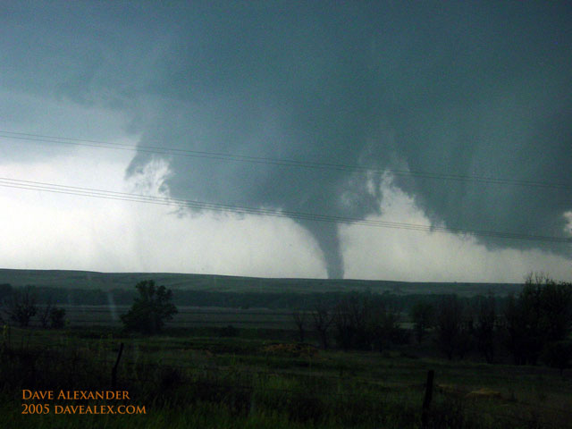
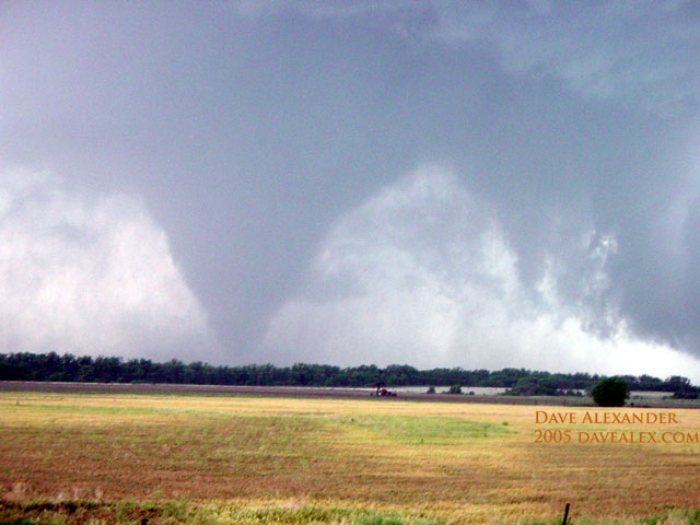
Note there are two big tornadoes in the above picture taken while we were in the van…
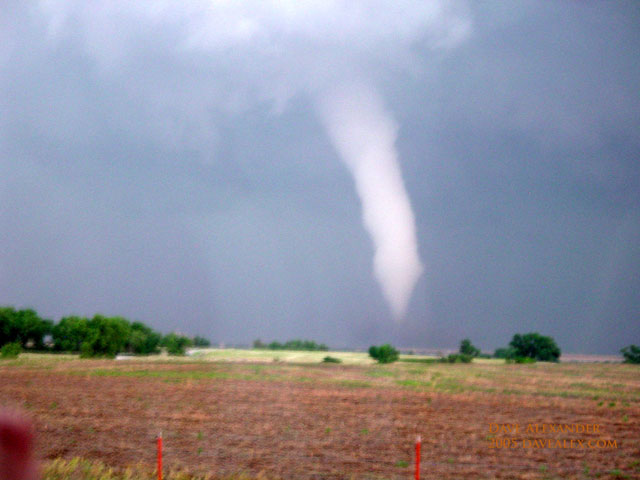
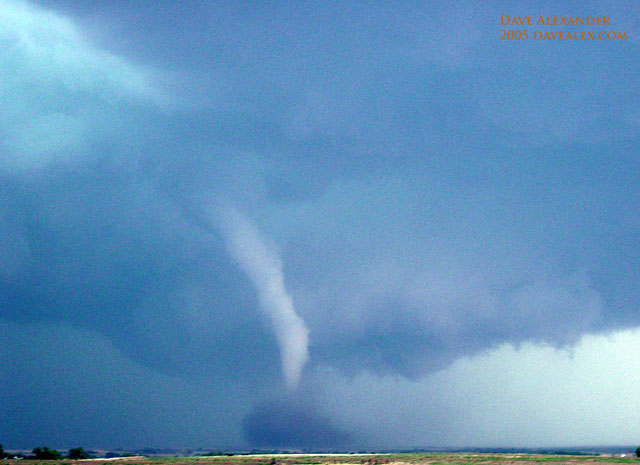
We quickly moved to stay in front of it and saw may wall clouds, funnels and tornados form and reform. Luckily this storm spared 4 towns that were
almost in its path (missing by less than 2 miles per town). We heard lots of sirens today. We then parked and saw the inflow scud form right on the
road around us as another tornado formed 1/2 mile to our south. Here the storm again reformed and close to Damar a nice elephant trunk formed, with another large cone just behind it (both at the same time). This is probably what you saw on the weather channel as the contrast was amazing and it was running parallel to us about 1/8 mile north of our road. The north tornado dissipated and the beautiful elephant trunk eventually roped out.
This storm was now being seeded by another monster supercell to its southwest and so we headed back to Hayes to start the chase over.
Heading east on I-70 out of Hayes we quickly saw a huge cone tornado.
There was also reformation of another agressively rotating wall cloud directly over I-70. I can’t believe the truckers were barrelling right under this
wall cloud while another tornado was just south of the interstate. We learned later that 44 trucks were overturned on the interstate. This thing
was quickly on top of us and we had no choice but to turn around and head east on I-70 back towards Hayes. We followed this storm towards Stockton and saw yet another short lived cigar tornado. This storm appeared to be turning into a HP and so we decided to go get some dinner, and reports have it just a few minutes after we left its beautiful wall cloud it put down a large rain wrapped tornado. These are hard to see and thus quite dangerous so it was good we left this storm when we did.
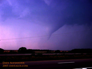
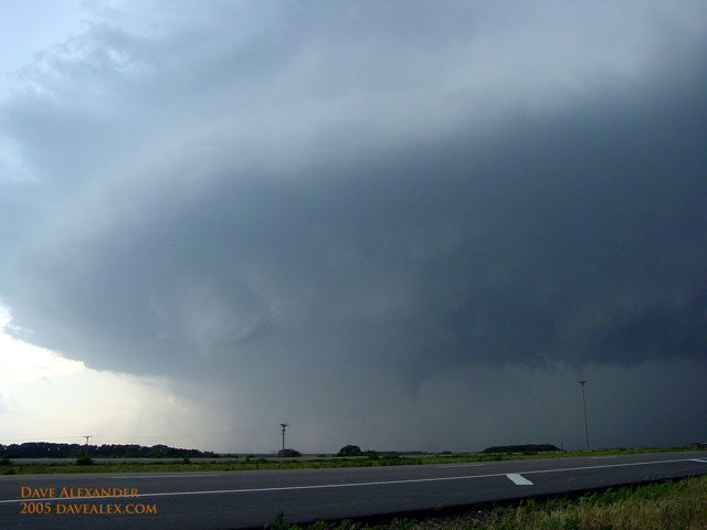
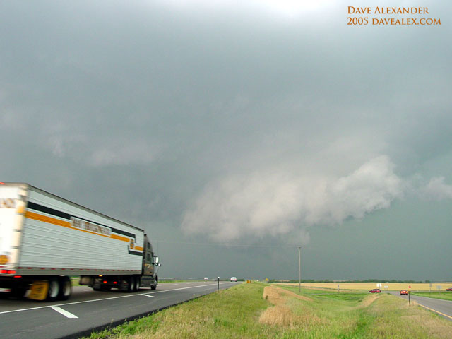
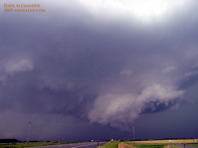
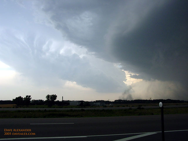
We’re thinking this RFD winds (probably close to 100 mph) is what blew over the 44 trucks on I-70. You can see the dust being picked up and also the structure of this supercell!
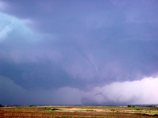
Another picture of the Zurich double tornado as it roped out. The second tornado is dissipating directly behind.
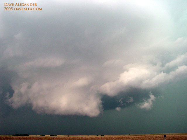
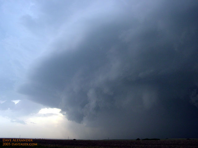
We all lost count of how many tornadoes, funnels and wall clouds that we saw today. We are counting 7 tornadoes based on our recollection of the mesos, although many of these mesos put down multiple tornados, pulled back up, and put back down again. We counted these as just one tornado. Otherwise I suspect the count would be near 15.
Tomorrow will be another intense day as similar conditions are going to be present in the Texas and Oklahoma panhandle. Once again we saw quite a
lightening display on our way to the hotel in Dodge City.

