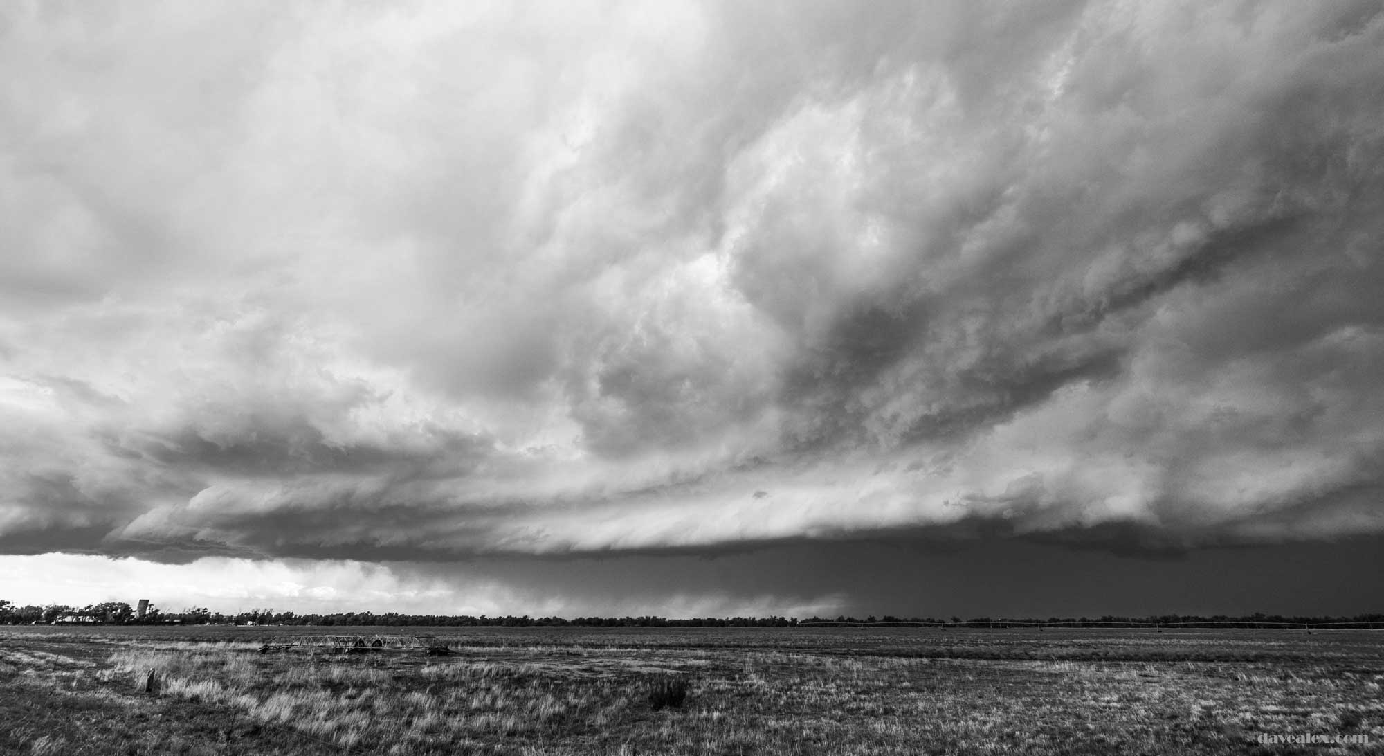
Friday May 18th was forecast to have thunderstorms form along the front range and then float onto the plains with severe potential. There was a surface low in SE Colorado which was bringing moisture into the NE part of the state. So I decided to target Limon as there are a lot of options from that central point in Colorado, and I decided to leave early in case the storms fired earlier in the afternoon.
I was in Limon about 12:30pm and already storms were firing in Colorado Springs and Monument. Another was close to Cañon City and all three were severe warned early in their lifecycle. The rest of the state, however, was without any kind of convective activity. It was cloudy and they hadn’t burnt off yet, I could see the clouds were moving west so good low level moisture in the upflow. The wind shear strong but lacked a good middle layer component, especially in Northern Colorado; and given the steep lapse rates I was expecting mainly a hail threat in the SE part of the state.
Sitting on hwy 287 I chose my next target to be the southern part of the state so I started to head SE. For those that know this road, the town of Hugo has a couple of miles of 30 mph highway and of course they were enforcing with two Marshalls and had two folks pulled over. Not sure why Marshalls are serving that community rather than a local police or county sheriff. By the time I got to highway 94 the storms were still not firing so I decided to take a detour and check out Aroya ghost town, which has been on my bucket list. See this post for some photos and history.
Finally there were storms initiating off of the Raton Divide heading NE. I targeted these hoping that they would potentially turn supercellular and have some nice structure. At this time the NWS issued a tornado watch for the entire southern part of the state, which reinforced that I chose the best area. I figured by the time I got to Lamar I’d have many directional choices and the storms would be in the vicinity too.
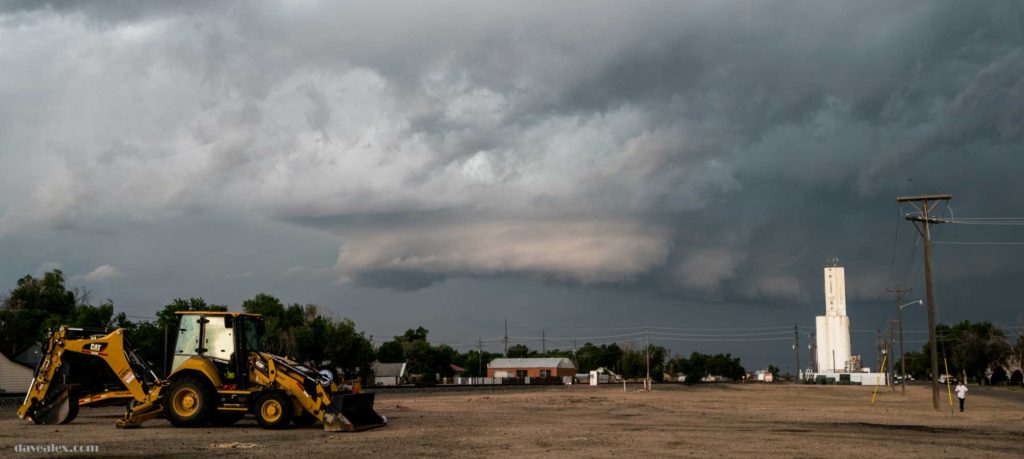
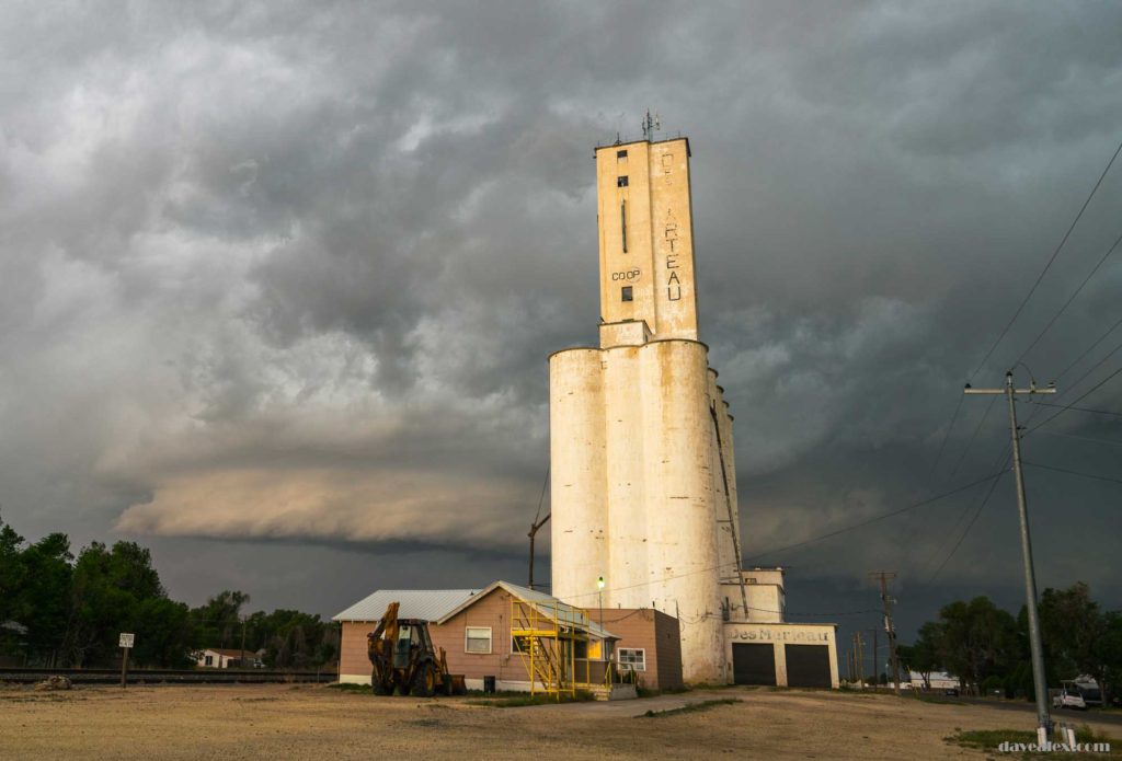
There were many storms that were still getting organized and I figured they would either developing into one large supercell, or more likely line up into a bow echo. I left Lamar and headed east so I could be in front of the storm. The southern part of the storm looked the best early on, but was weakening (visually and on radar) so I decided to chase in front of the storm about 10 miles north giving me some options depending on how the situation continued to develop.
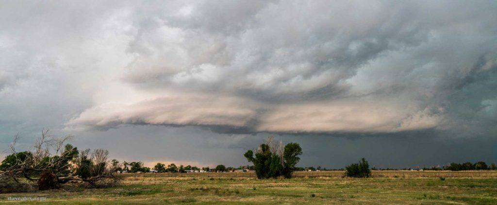
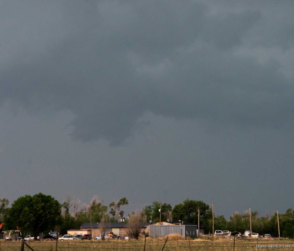

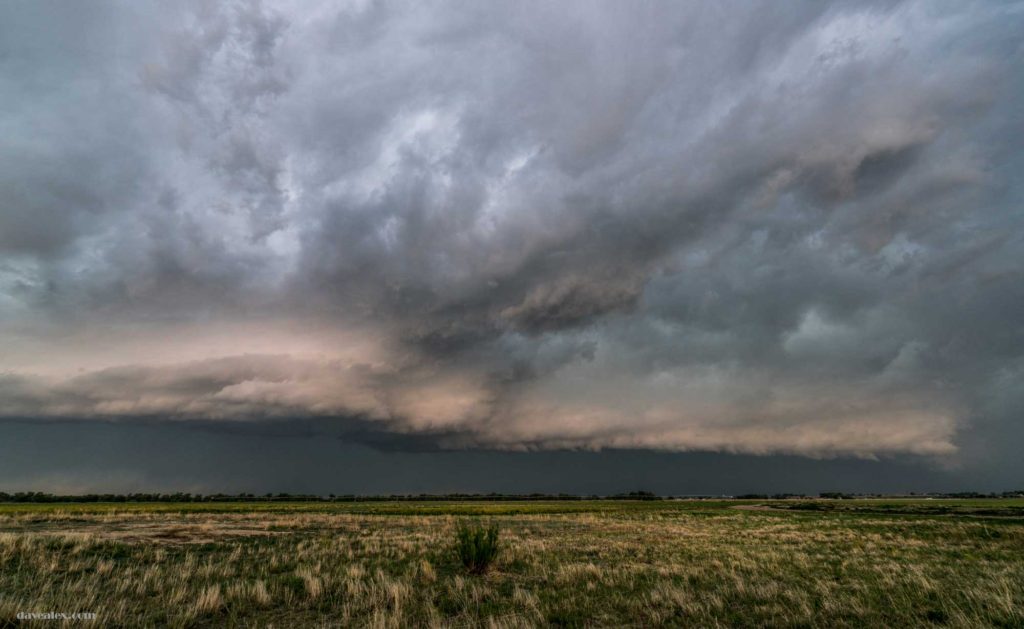
It was fun trying to stay directly under the shelf; didn’t want to get too far under the storm as it was severe warned for half-dollar sized hail and 70-mph wind; but getting out of the car and admiring the structure of this storm got me under the shelf; and this would be the last I would be in front of the storm for the evening as it was quickly overtaking me because I was parked watching the storm.
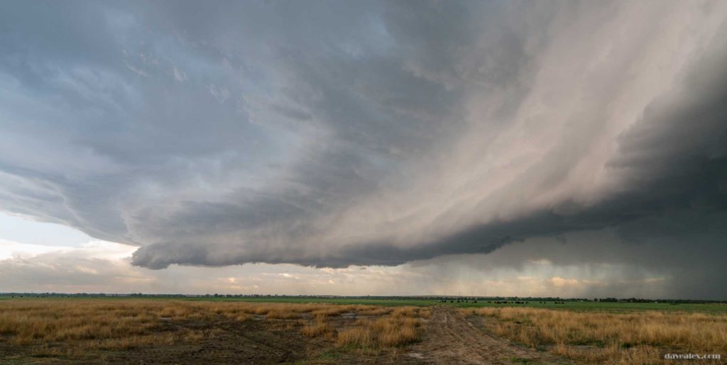
Once the rain and hail would start, I would jet forward another several miles. The storm was heading mostly east so I was still in good position to head south to get out of the way if necessary. North of my location the storm formed an obvious bowed front and my guess is it would be severe due to wind and hail. Radar showed the bow front clearly. The plan at this point was to just let it drift north and east and eventually I’d head south, watch it pass and head east, and then start to head back home and hopefully catch some good lightning. Going into Kansas after dark is a commitment especially in the SE part of the state since it is a long drive home.
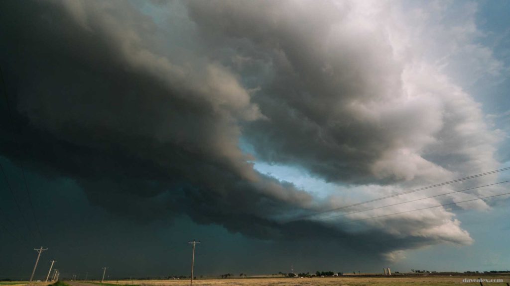
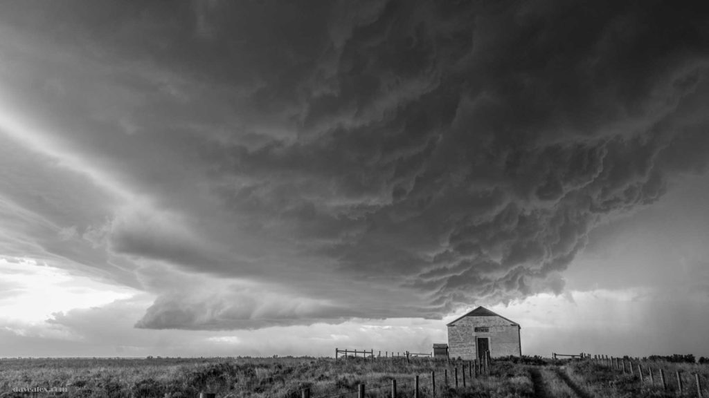
I found a good paved road NE of Granada and decided it would be a good road to continue with my chase plan, so I headed south. The southern section of the storm didn’t look as fierce as it once had but the cloud structure was really cool and colorful!
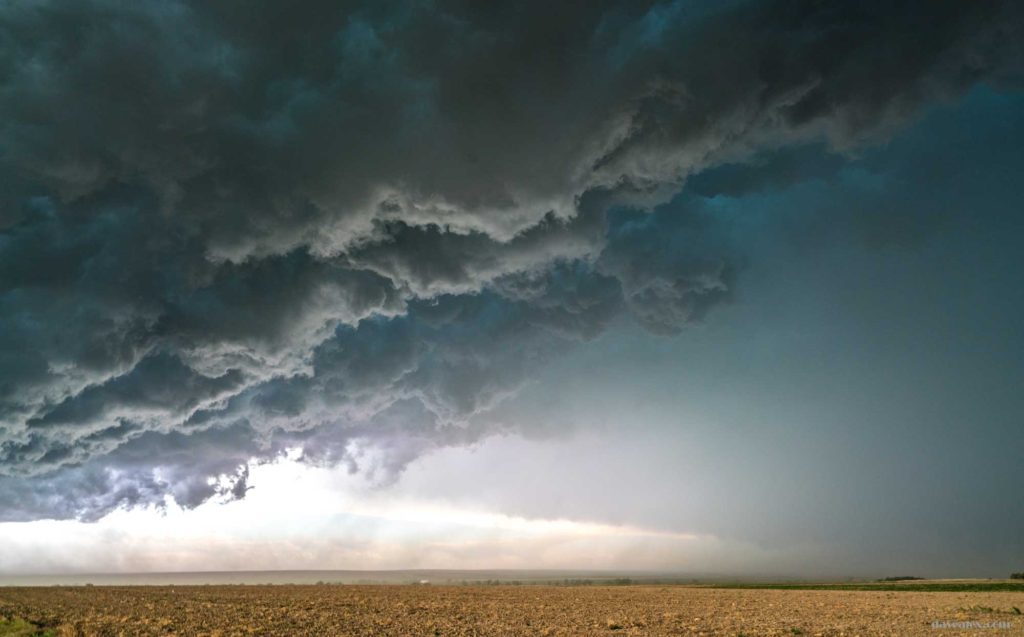
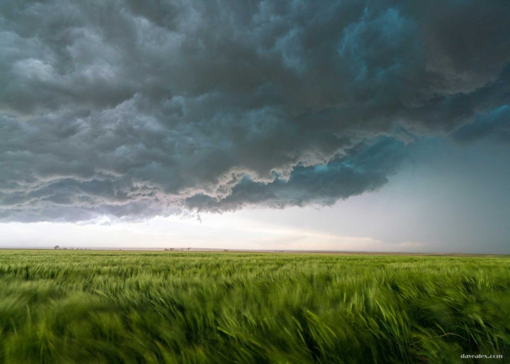
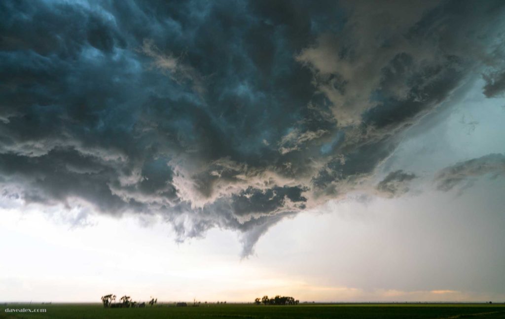
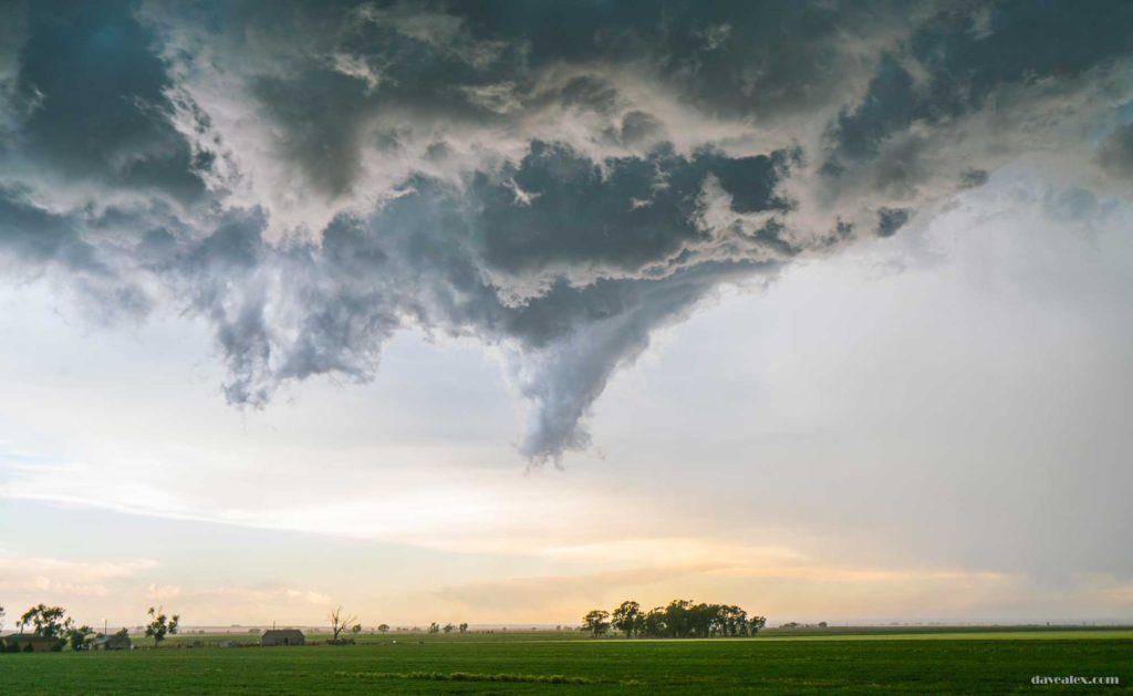
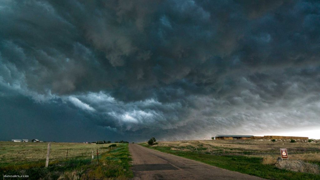
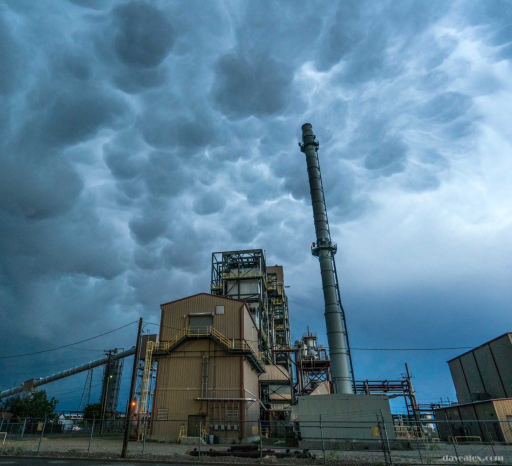
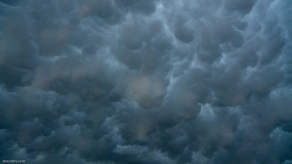
Getting south of the storm I was expecting to see the updraft along the back side, which was cool but the cooler part was the mammatus clouds forming in the back side of the anvil. At this time the radar showed the line of storms and a tornado warning on the part of the storm I was on; with the surface low showing at the north end of the line.
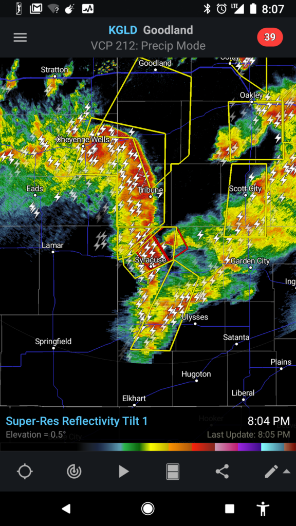

The storms that initially fired over Colorado Springs and Monument were still active and so I headed back north to try and catch them for some lightning photos; but by the time I got back to near Limon most had dissipated and the action was all east in Kansas. So I put on some good tunes and called it a night. Between Limon and Kiowa there was standing hail on the side of the road so I stopped to check the size; it was all pea sized and nothing larger, but a good inch on the ground causing it to get foggy.
Overall, 440 miles and 14 hours. A great first chase of the year!
