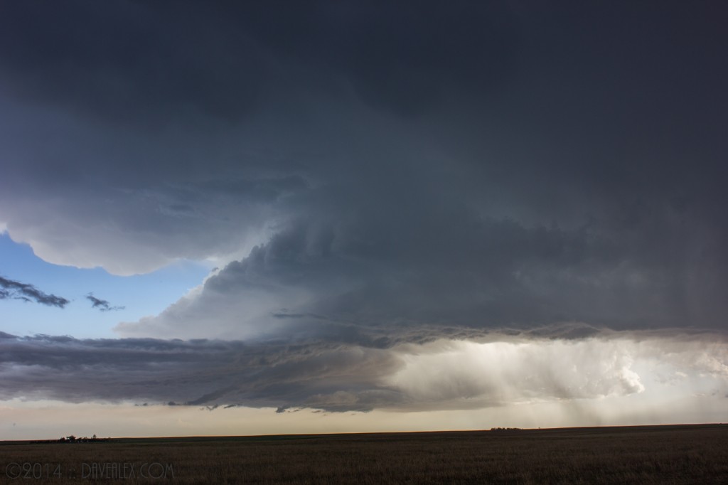
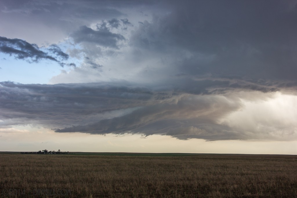
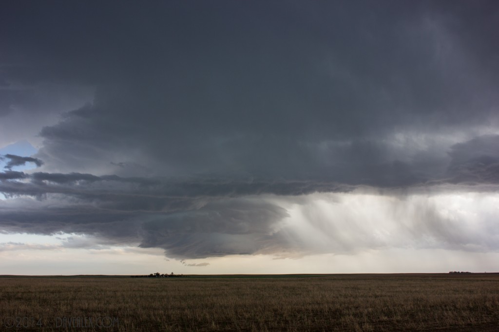
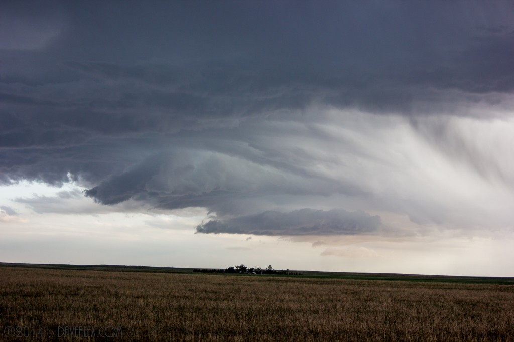
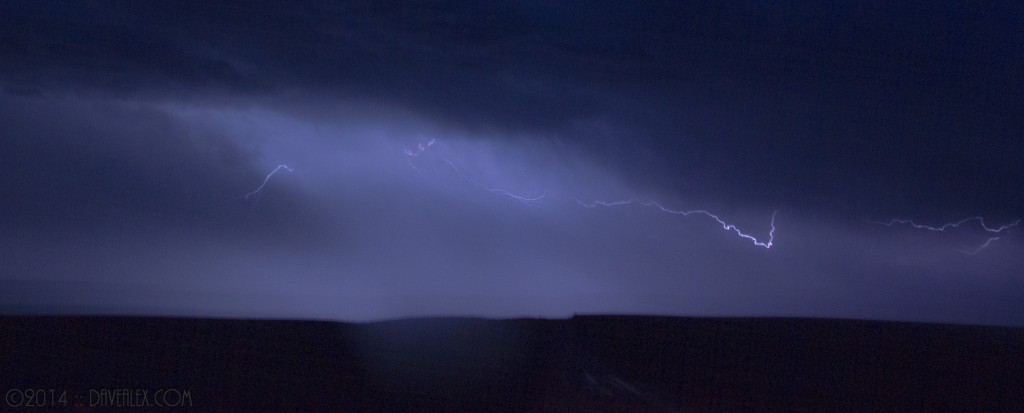
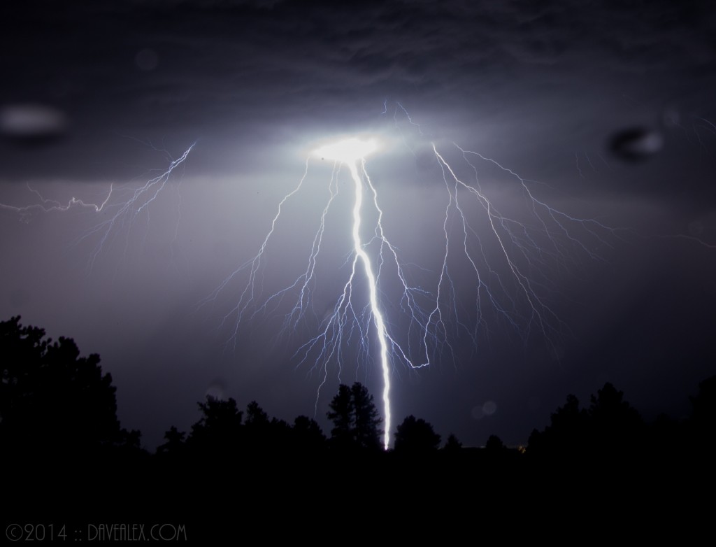
NOTE: As always, click the images for full HD size…
June 5, 2014: It’s been a somewhat slow chase season thus far, which by most people’s opinion is a great thing. Despite that, early June always has good storms to look forward to here in the Front Range of Colorado. The Storm Prediction Center issued a slight risk and a Severe Thunderstorm Watch over the Front Range. Adam Boggs once again was able to meet up and we decided to chase. The only storm that looked interesting was coming out of SE Aurora and Adam and I started near Bennett on this storm.
The storm was initially heading SE but soon took on a more southern route and followed I-70 on its western side and then went south and east of Limon. We chased through Arapahoe and into Elbert counties and ended up getting in front of the storm near Hwy 24.
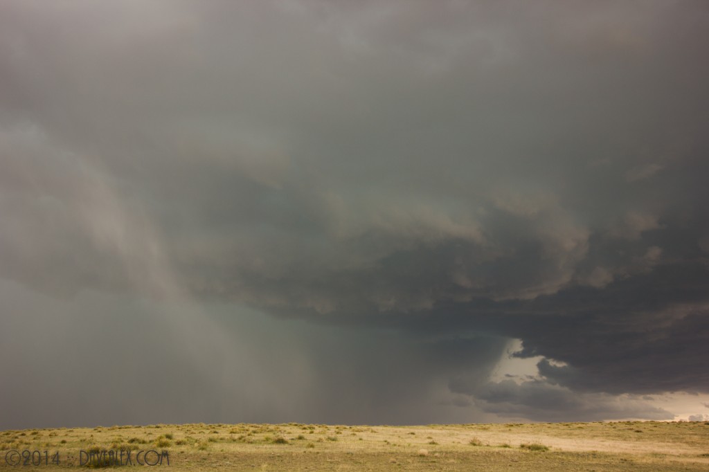
Continuing south we zig-zagged in front of this storm staying just minutes outside of the initial hail and right in the gust front.
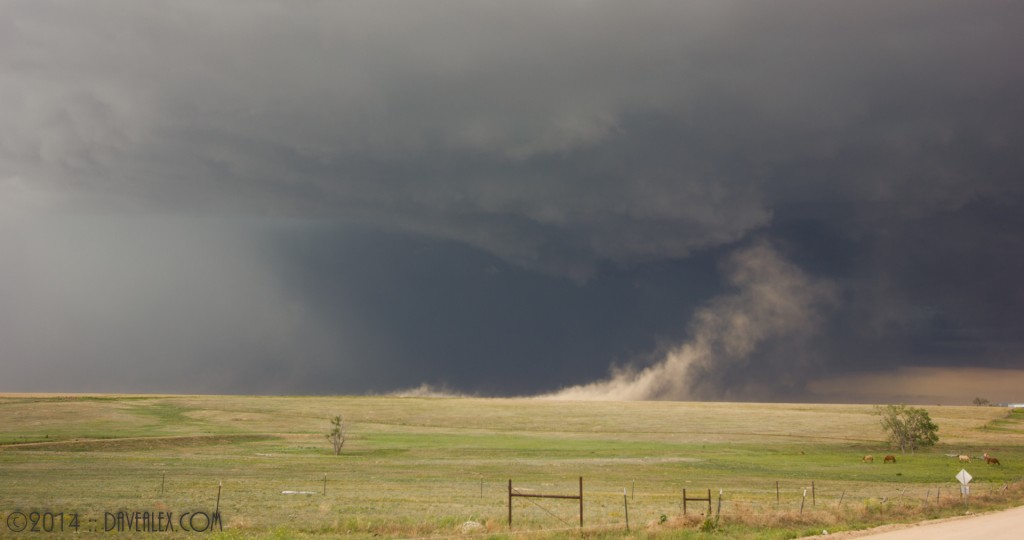
Out in front we saw several “gustnados”, or dust devils created by the gust front of the storm; plus there were several times that we were driving in the dust storm, which was moving briskly at about 40-45 mph. There were some interesting cloud formations but given we were so close to the core of the storm it was hard to view the more global structure of the storm.
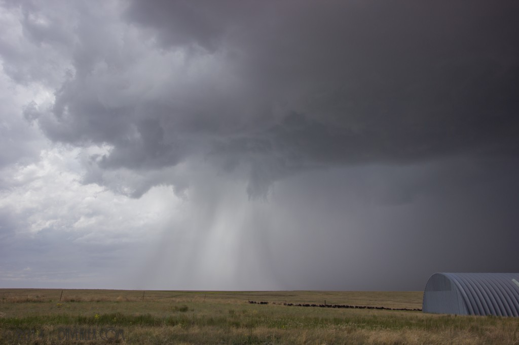
Eventually we hit Hwy 71 and gave up on this storm as we didn’t want to end up in Kansas. The storm eventually produced a tornado about an hour after we left it.
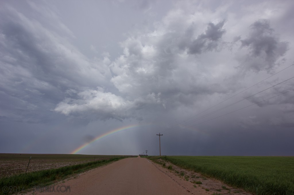
There were new storms firing and we decided to head into Limon for some dinner and then chase whatever looked good; hoping to eventually get some nice dusk/nighttime lightning shots heading back to Bennett where Adam had dropped off his car. The storm that put out 1″ hail near Parker was heading our way but was about an hour out.
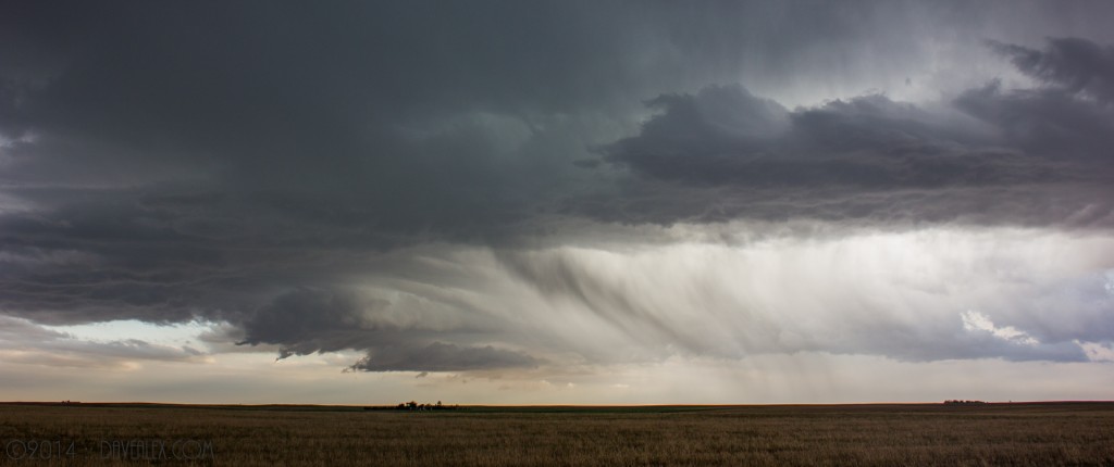
This storm as it approached had neat structure so we watched it until it dissipated.
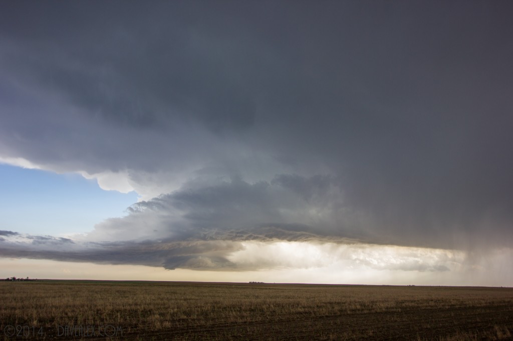
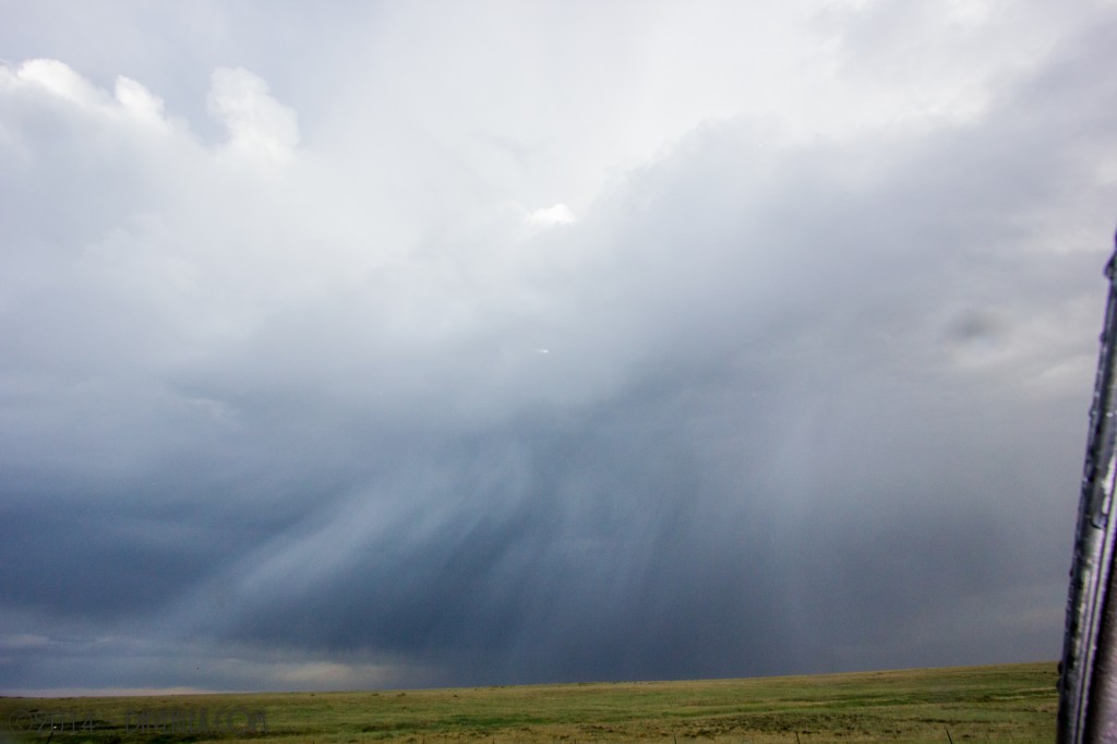
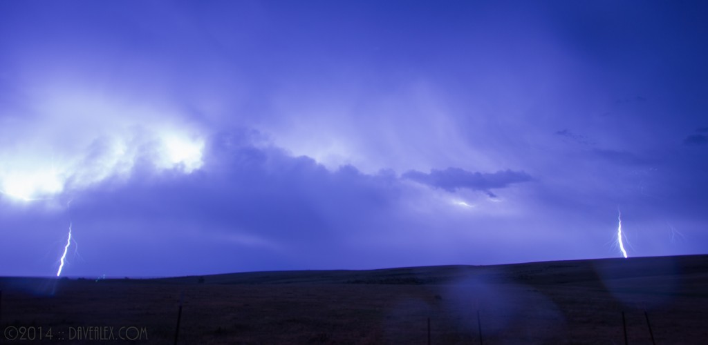
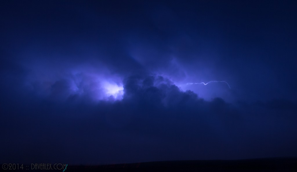
We then headed home via Hwy 86 and put ourselves in front of the 2nd to last line of storms for the night. We caught some spikes; but most of the light show was in the clouds.
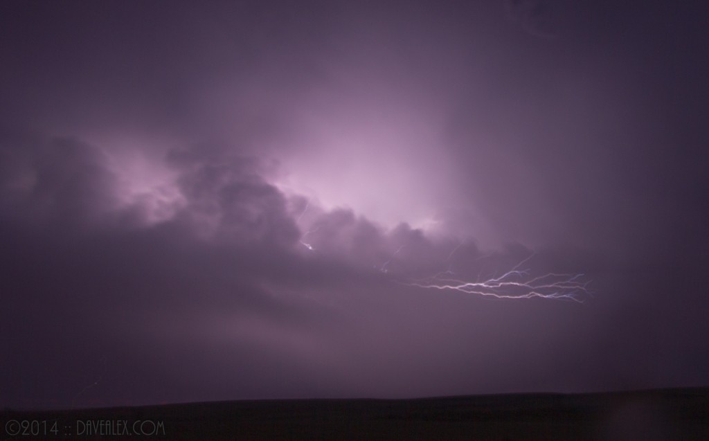
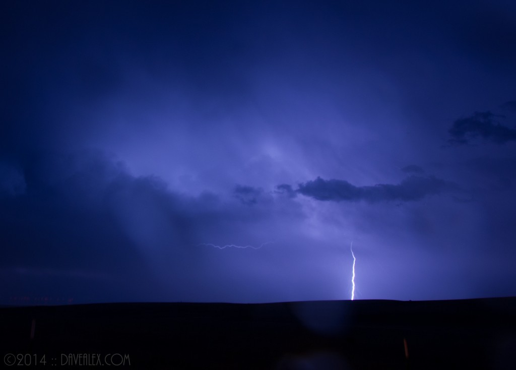
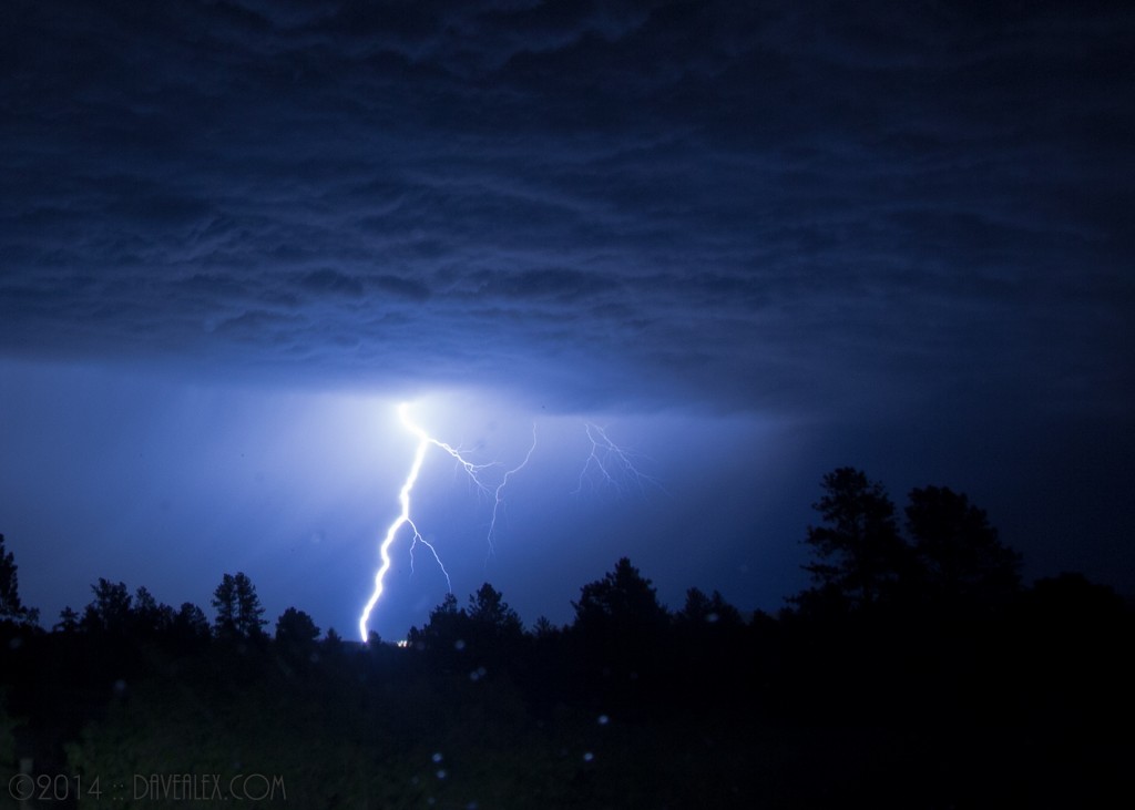
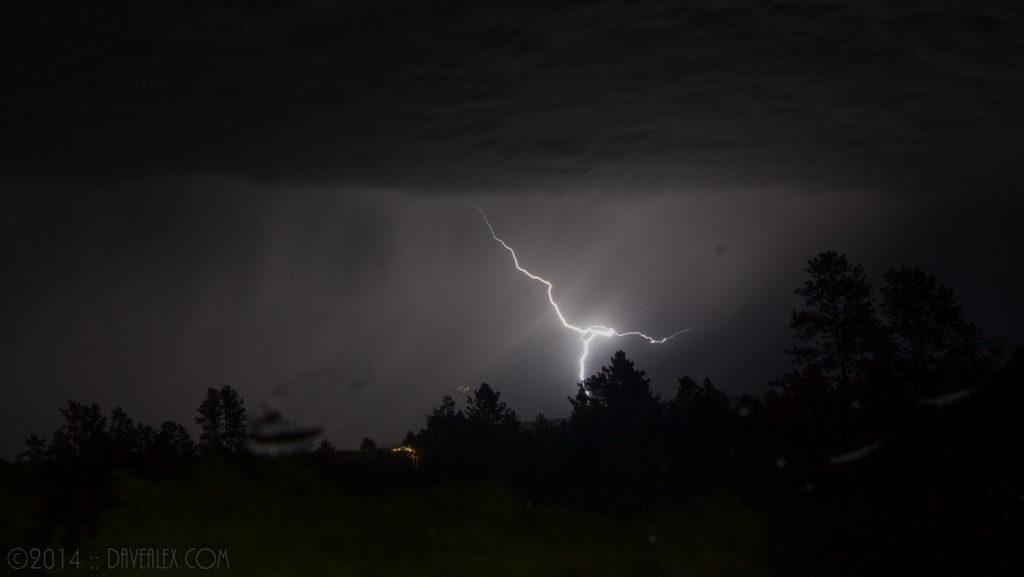
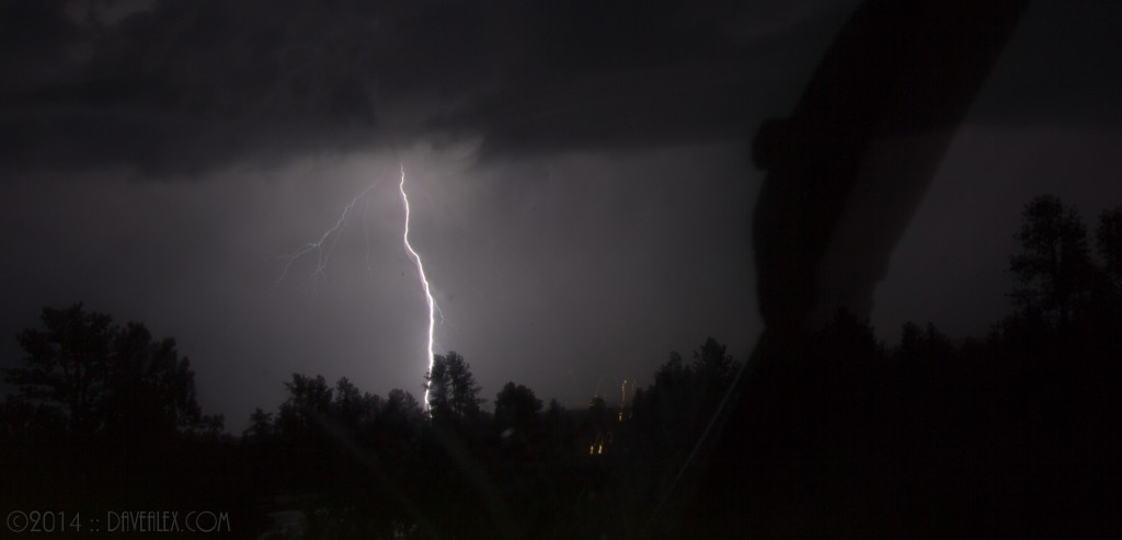
Finally on the way home after departing ways with Adam, there was a nice line of storms from SW Denver down through what looked like Woodland Park. The Anvil Crawlers over SW Denver were awesome. Once I got home I realized that we could get some action here; so I started downloading photos and keeping an eye on the sky. About 12:30am the last storm came just north of us and I was able to catch some of the spikes just north of us by several miles. These were really bright and took some adjustment to get photographed (the first ones were all washed out until I fine tuned the aperture of the camera); and like the storms earlier in the evening most of the strikes were in the cloud.
I’m trying out some new open exposure “by hand” techniques sitting in the protection of the car. 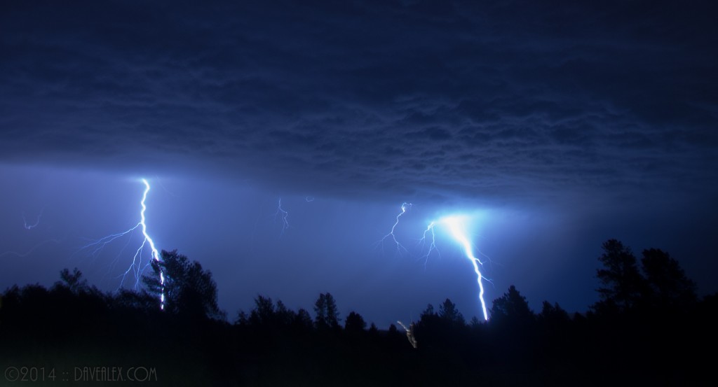
Overall, a very fun chase day!

